Driving on the new Sichuan-Tibet highway is no less difficult than the ancient Shudao road
6 cities |
51 attraction(s) |
total distance 3072
km
 TIPS
TIPS
Day1
Day2
Day3
Day4
Day5
Day6
Day7
Day8
Day1: Lasa > Shannan > Rikaze
9 attraction(s) ·
372 km
1
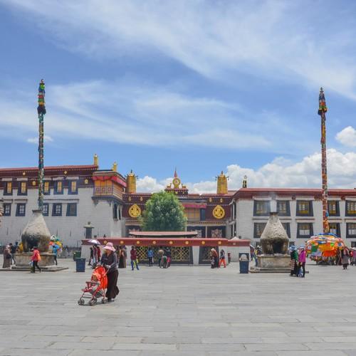
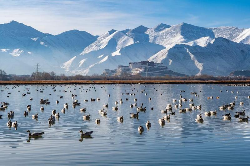
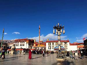
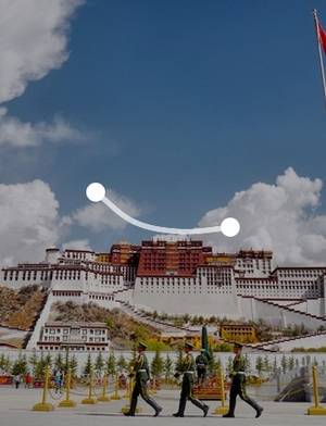
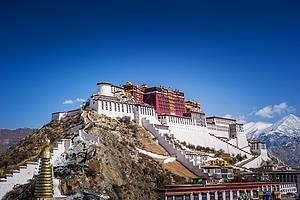
There are often many Tibetan people who prostrate and worship on the square, which is a good place to shoot documentaries. At the same time, it is also a good angle to film the Potala Palace.
63
km
3
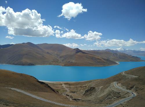
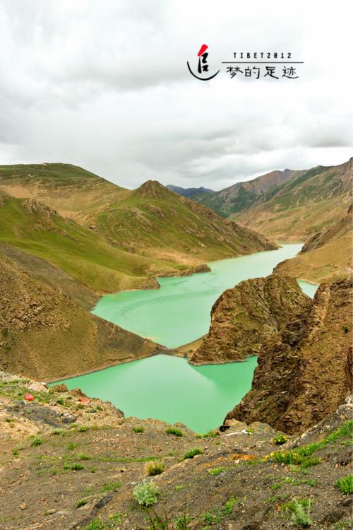
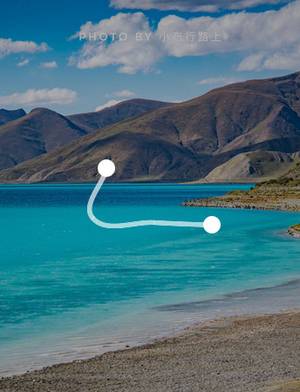
Yamdrok Lake, along with Namtso and Manasarovar, are known as the Three Great Sacred Lakes of Tibet. It is regarded as "turquoise earrings scattered by goddesses" in the hearts of Tibetans.
50
km
4
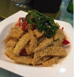
Belong to the scenic Sichuan restaurant, this is the only place on this road with restaurants, and all the restaurant prices are similar.
30
km
5
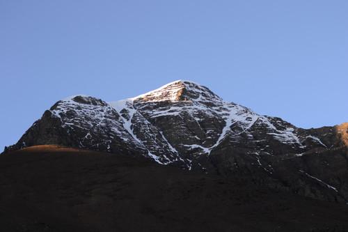
Naijingangsa, one of the four major snow mountains in Tibet. Like a beautiful lady dressing quietly, Karola gazes afar among the mountains. It is said that Karola Glacier is the closest glacier to the highway in Tibet, only about 300 meters away. Karola Glacier is located at the border of Langkazi County and Shigatse County, 71 kilometers away from Shigatse County. After leaving Yamdrok Lake, you will come to the terminal moraine of Karola Glacier after crossing the 4,330-meter Semila Pass. The elevation of the front of the glacier tongue is 5,560 meters, and the viewing area of Karola Glacier is about 5,400 meters above sea level, in the area around 5,600 meters north of the mountain pass. Naijingangsa is the main peak of Lhagangri Mountain, north of the Himalayas. According to legend, it is the residence of the four major mountain gods of Tibetan Buddhism, the Western Mountain God Noji Kangwa Sangbu. Naijingangsa is surrounded by more than 10 peaks above 6,000 meters and is one of the four major snow mountains in Tibet.
49
km
6
Manla Reservoir is a large-scale water conservancy project located in Longma Township, Jiangzi County, Shigatse Prefecture, Tibet. It is mainly used for irrigation, power generation, flood control, and tourism. The dam is made of clay core wall and stone, with a length of 287 meters, a height of 76.3 meters, and a top width of 10 meters. It is known as the "number one dam in Tibet." It is 28 kilometers away from the county seat and 113 kilometers away from Shigatse City. Manla project is a major (Ⅱ) type project, and it is the "leading" project on the Nianchu River. The elevation of the dam site is between 4200-4300 meters. The winter is cold and dry, and there is a lack of oxygen. The actual construction period is only 7-8 months, and the construction conditions are harsh.
31
km
7
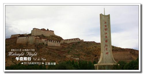
Gyantse, located on the upper reaches of the Nyang Chu River, is a historical city with a long history and many famous attractions. After the collapse of the Tubo Dynasty (7th-9th century), Gyantse became the stronghold of the Phagmodrupa Dynasty. Originally called "Jiekaerzi", it gradually changed its name to Gyantse. During the Yuan Dynasty (1206-1368), the Palkhor Monastery was built in Gyantse, attracting followers from all directions. As it was also an important transportation hub and had a prosperous business, Gyantse became the third largest town in Tibetan history.
96
km
8
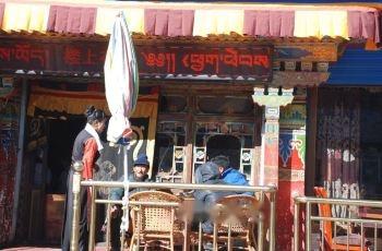
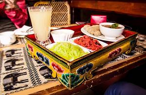
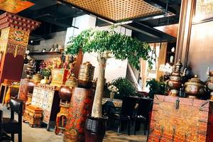
Near the front gate of the Zhashenbur Temple, the Tibetan waiters are all beautiful. There are photos of Panchen Lama hanging on the wall. The air is still filled with a strong smell of butter, which is authentic Tibetan style. The hotpot of Tibetan style is recommended. There are many ingredients and portions are generous, and the taste is also good. It is suggested to order dishes according to one's own taste.
2
km
9
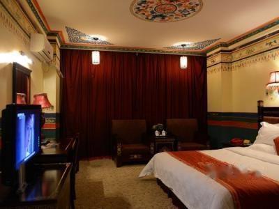
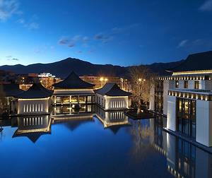
Located in the downtown of Shigatse City, very close to Zhashilunbu Monastery.
Day2: Rikaze
7 attraction(s) ·
485 km
1
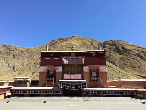
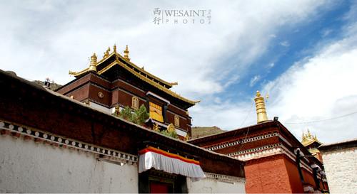
Tashilhunpo Monastery, also known as Zashilhunpo Monastery, is the largest monastery in the Shigatse area of Tibet. It is located on the eastern slope of Mount Nima, west of Shigatse city. It is the residence of the Panchen Lama after the fourth reincarnation. Together with the "Three Great Monasteries" in Lhasa (Ganden Monastery, Sera Monastery, and Drepung Monastery), it is known as one of the "Four Great Monasteries" of the Gelug School of Tibetan Buddhism. Tashilhunpo Monastery is also one of the six major Gelugpa monasteries, along with Tashilhunpo Monastery in Qinghai and Labrang Monastery in Gansu. It was designated as a national key cultural relic protection unit by the State Council on March 4, 1961. In terms of transportation, walking is convenient within Shigatse city. You can also take a rickshaw for 2-3 RMB per person or negotiate the fare. Taxis charge a flat rate of 10 RMB within the city.
149
km
3
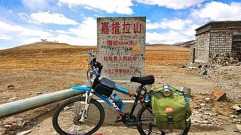
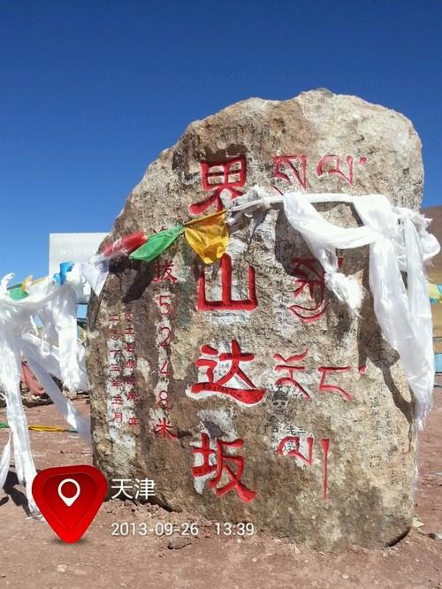
From Lazi to Baiba, the distance is 84km. To cross the highest mountain on the road, Jiacuo La Mountain, which is 5248m. After leaving the city, there is a 7km uphill climb to reach K5082, the mountain pass. Then there is a downhill and undulating road to reach Baiba, marked as K5133. On the left hand side, there is a tourist management office for Dingri County. Baiba is a small town that has developed through tourism.
26
km
5
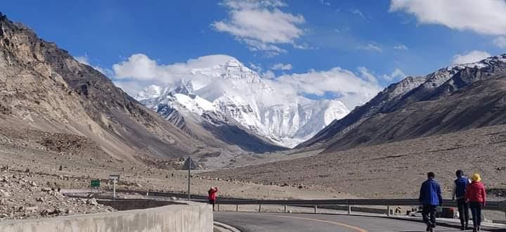
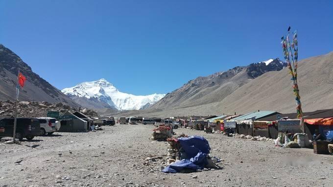
A protected area established to protect the core area of Mount Everest, one of the best locations for viewing and photographing Everest.
5
km
6
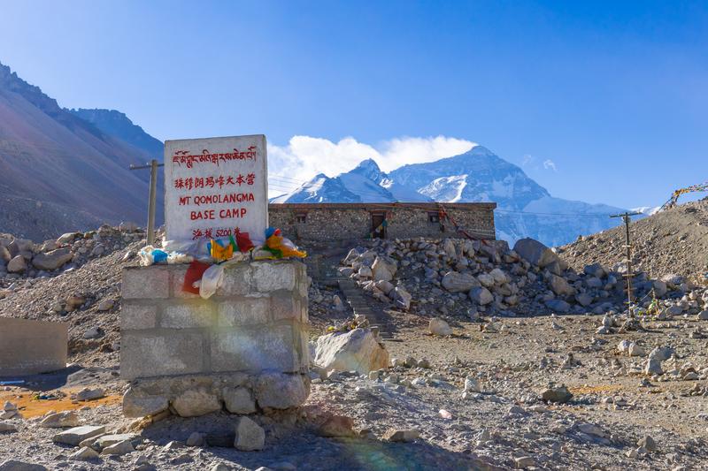
Accommodation conditions at Everest Base Camp are relatively poor, usually consisting of large tents with a stove inside. It is not too cold at night.
131
km
Day3: Rikaze
5 attraction(s) ·
418 km
3
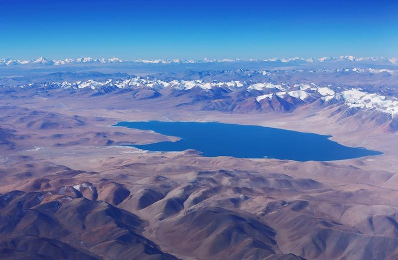
Peikucuo is located in Nie La Mu County, Shigatse, Tibet, 250 kilometers away from Dingri County town. Peikucuo is the largest lake in Shigatse, with an area of over 300 square kilometers. The lake is surrounded by mountains on three sides, with open terrain and abundant fish resources. There are wild horses, Tibetan wild donkeys, Tibetan antelopes, cranes, yellow ducks, gray ducks, and other activities on the lakeshore. With the reflection of Xixiabangma Peak (60 kilometers on the south side of the lake) and the sound of waves from the Yarlung Zangbo River (40 kilometers on the north side of the lake), Peikucuo, shaped like a gourd, represents the auspicious high mountain lake, giving people a reason to be moved and stop.
93
km
5
Day4: Rikaze > Ngari
9 attraction(s) ·
553 km
3
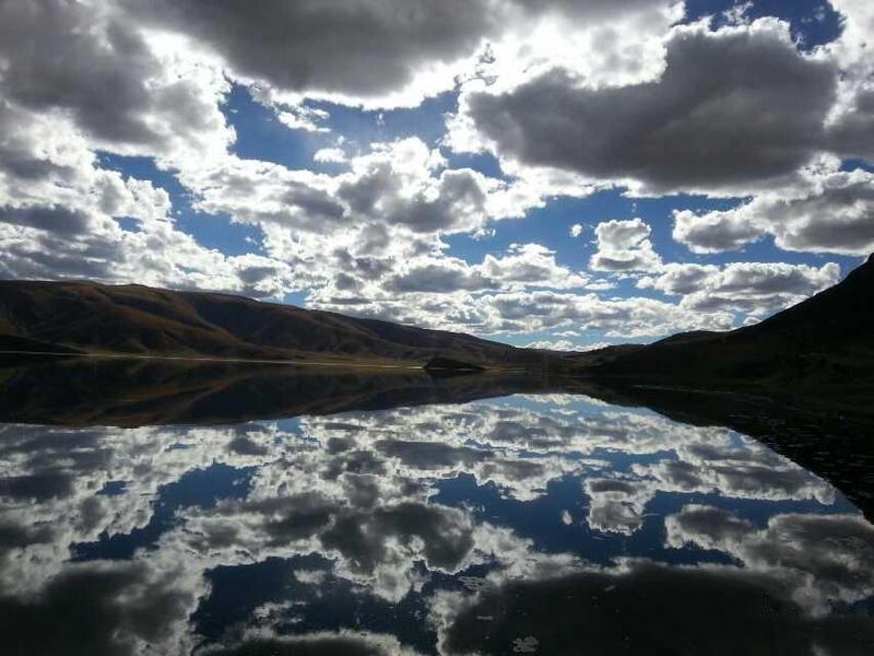
Unnamed small lake, reflections look especially beautiful when there's no wind. With strong off-road capabilities, you can drive onto the small island in the middle of the lake.
35
km
4
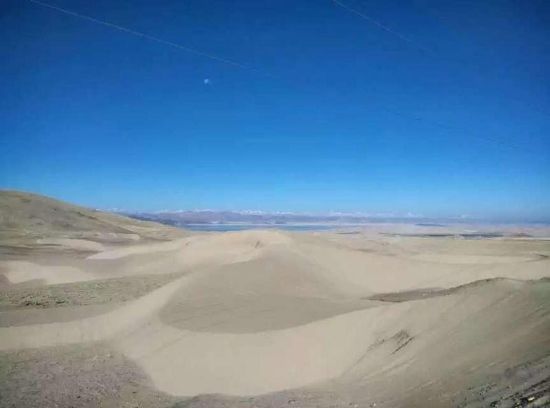
Overgrazing in the Ali region has led to the formation of small deserts due to grassland desertification.
235
km
5
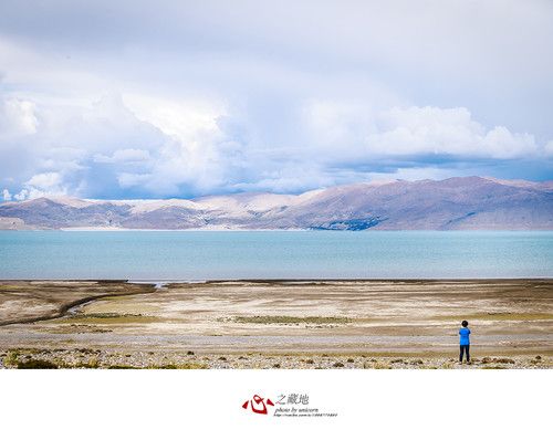
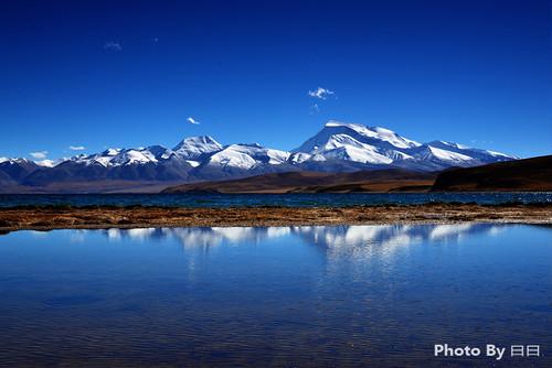
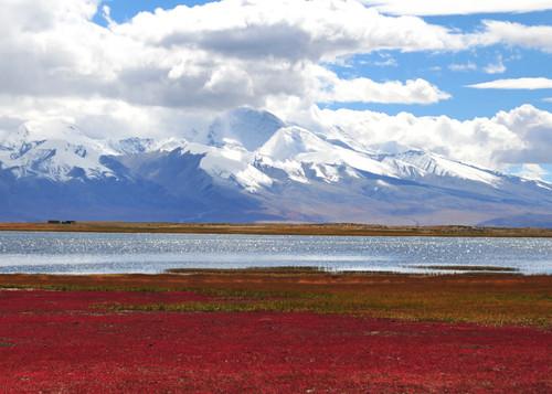
Mapam Yumco, Namtso, and Yamdrok Lake are known as the three sacred lakes of Tibet. Many books and scriptures describe the water of Mapam Yumco as "pearl-like" and drinking it can cleanse "centuries of sins". Almost all Tibetan people praise the water of Mapam Yumco as "very sweet".
6
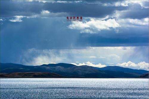
La'ang Cuona leans tightly against the side of Lake Mapam Yumco, forming a beautiful crescent-shaped lake on its west side. The shape of Mapam Yumco resembles the sun, and their inherent shapes demonstrate a harmonious and perfect state. The area between the two lakes is a must-pass route for entering and exiting Ngari County. It is said that Lake Ghost has no waves even without wind. In fact, the scenery here is very beautiful, with dark red mountains on the lake shore, creating a mesmerizing color. As you walk along the lake, you can hear the sound of waves. The pebble beach looks like a bright silver belt embedded along the lake. There is also a small island in the lake, which is dark red. Standing on the shore of Lake La'ang Cuona, a strange feeling rises in your chest; the vast lake area is devoid of people and animals, as if standing on the edge of the universe. Lake Mapam Yumco and Lake Ghost are not only close to each other, but also connected by waterways. Perhaps due to nature, the water quality of Lake Mapam Yumco and Lake Ghost is completely different: the water of Lake Mapam Yumco is clear and refreshing, while the water of Lake Ghost is bitter and hard to swallow. The contrast between these two extremes reminds us of the great symbol of unity between the original self and the primordial mother – the spirit of the universe, even down to a tiny creature. Just as you see now, Lake Mapam Yumco and Lake Ghost gently undulate in a soft wind, without arrogance or sorrow, only the eternal companionship throughout the ages.
75
km
9
There are two kinds of mutton offal soup: one is to eat mutton head meat, mutton stomach, and mutton tripe first, and then drink the soup, savoring the freshness of the soup in small sips. The soup is a bit salty and does not reduce the calories. The soup with added oil and chili flakes becomes more flavorful as you drink it, and the more you drink, the more calories you get. After finishing a bowl of soup, you feel warm all over.
Day5: Ngari
7 attraction(s) ·
251 km
1
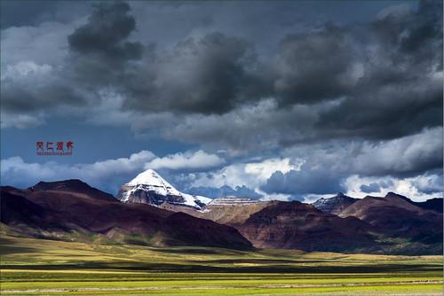
Mount Kailash is regarded as a sacred mountain worldwide, and it is recognized by the Bon religion, Hinduism, Tibetan Buddhism, and Jainism as the center of the world. As the main peak of the Gangdise Mountains in China, Mount Kailash is one of the most beautiful and awe-inspiring mountains in China.
77
km
2
The only place to have lunch halfway is here, mainly Sichuan cuisine
55
km
4
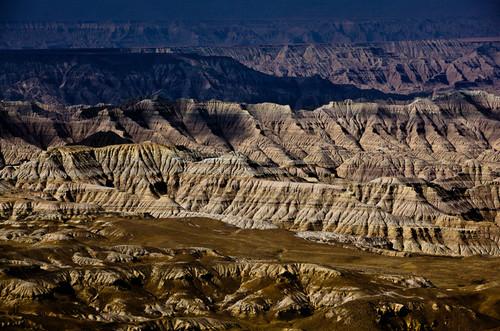
'Zadatulin' is located within the jurisdiction of Alizadat County. It was formed through geological changes over millions of years, resulting in ancient lake basins and riverbeds. The soil in Zadatulin covers an area of nearly a few hundred square kilometers and is filled with various "trees" of different heights and shapes, as well as early human cave sites.
5
km
6
Because it is close to Xinjiang, the big plate chicken here is unique
1
km
7
Day6: Ngari
6 attraction(s) ·
216 km
1
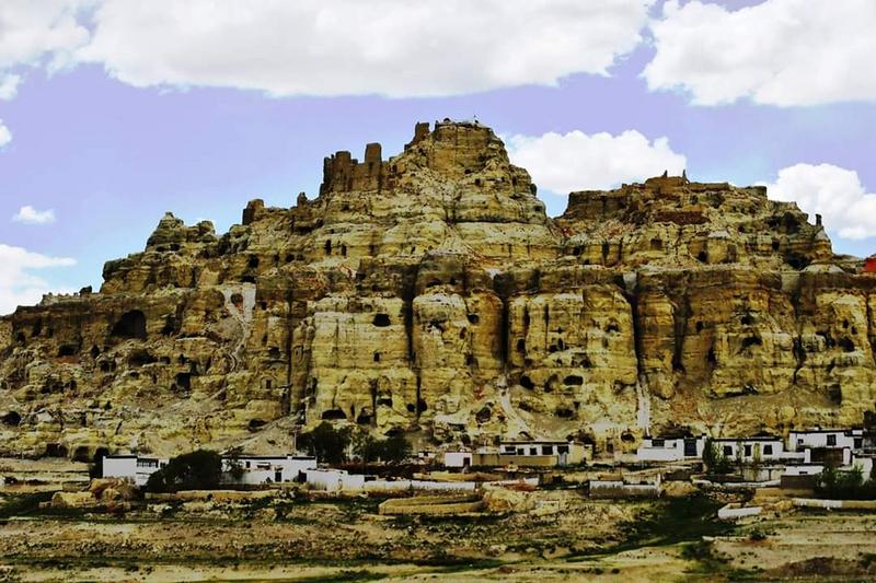
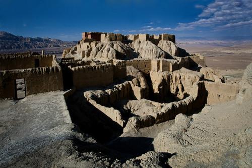
In the 10th century to the early 17th century, the Guge Kingdom thrived in western Tibet, spread Buddhism, resisted invasion, and played an important role on the historical stage after the Tubo Dynasty in Tibet. However, it was destroyed in a war in 1630 and disappeared. Among the subsequent period of fragmentation in Tibetan society, the influence of Guge lasted the longest for seven hundred years and left behind remarkable religious artworks such as murals, sculptures, and stone carvings. Guge is a marvel that has attracted countless explorers, scholars, artists, and journalists to come from afar to study, explore, and search for treasures.
20
km
2
Toling Monastery is located on the banks of the Xiangquan River in Zada County, Ali Prefecture, southwestern China's Tibet Autonomous Region. It was first built in the Northern Song Dynasty and is the first Buddhist monastery built by the Guge Kingdom (10th-17th century) in the Ali area.
1
km
4
Shiquan River, known as Sengge Zangbu in Tibetan. It is the upper reaches of the Indus River and one of the main rivers in the western part of the Tibet Autonomous Region. It originates from a glacial lake north of Mount Kailash in the Gangdise Mountains, flows south to north until near Bamba where it turns west, converges with the Gar River near Zaxigang in Geji County, and then flows into the Kashmir region.
2
km
5
Due to the connection with Xinjiang, be sure to taste the delicious Xinjiang cuisine. As usual, lamb skewers, big plate chicken, and hand-pulled lamb are all must-order dishes.
3
km
6
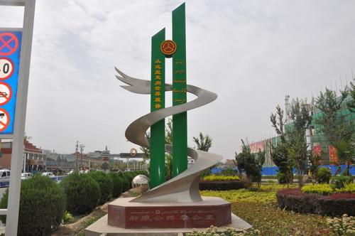
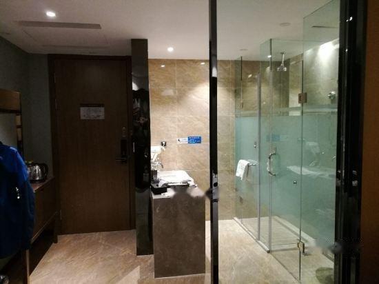
The Gaxiu Xiangxiong Starry Sky Hotel is located in the New Government Square of Gar County, Ali Region, Tibet. The hotel's supporting facilities are among the best in the Ali region. The hotel is newly built and the room hardware facilities are good.
Day7: Ngari > Hotan
4 attraction(s) ·
567 km
2
Day-to County, which is located 130 kilometers north of the Shiquan River, is the county seat. Pangong Lake is situated at the border between China and Indian-controlled Kashmir, 10 kilometers north of Day-to County.
230
km
4
Also, you can choose to stay at the local barracks, but they will not be open when the military is on a mission.
Day8: Kashgar
4 attraction(s) ·
214 km
4
The best hotel in Yecheng. Comfortable, intelligent, especially the bed is very comfortable.
