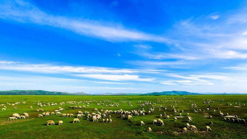
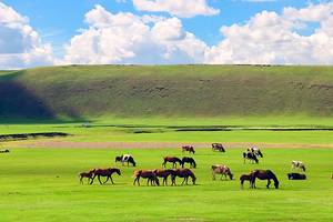
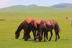
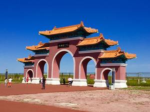
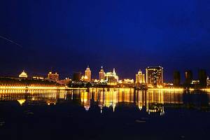
Hulunbuir Grassland
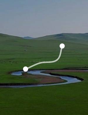
Hulunbuir Grassland is located in the western part of Hulunbuir City, named after Hulun Lake and Buir Lake on the grassland. The grassland stretches from west of the Greater Khingan Range to the border of Mongolia. It extends north to the Russian border and south to Arxan. Within its territory are cities such as Manzhouli, Hailar, and Ergun, as well as grassland pastoral areas like Hoh Nuur, Ewenki, and Bargh. It is a famous grassland in China.
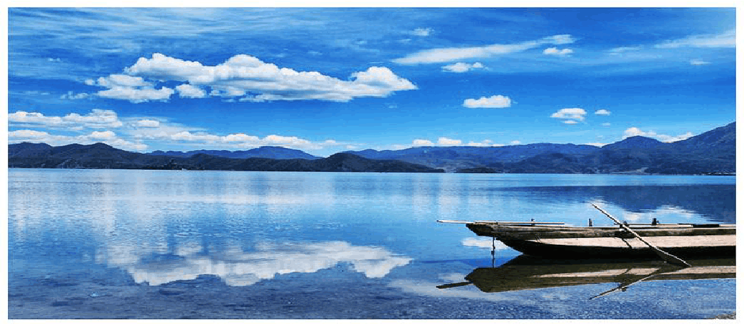
Hulun Lake
Hulun Lake is one of the five largest freshwater lakes in China, also known as Dalai Lake. 'Dalai' is a Mongolian word meaning 'sea'; 'Dalai Lake' means a lake like the sea. The surface of Hulun Lake is an irregular oblong shape, and the lake covers a vast area.
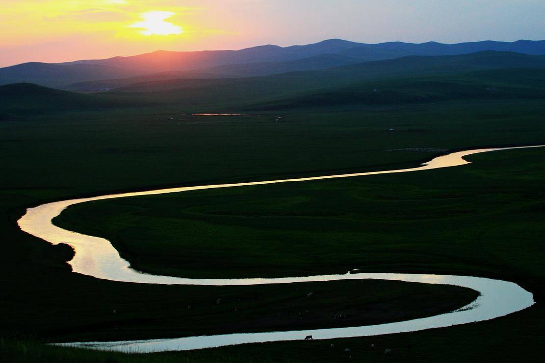
Mergel River
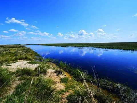
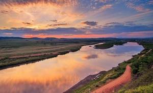
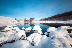
The Mergel River is located deep in the Hulunbuir Chen Barhu Grassland, originating from the western foothills of the Greater Khingan Range. It flows from northeast to southwest through the Hulunbuir Grassland, exits into Huhenuoer Lake, and then merges into the Hailar River. The river spans over 290 kilometers and is part of the Argun River system, which forms the border between China and Russia.
Erguna Wetland, formerly known as Genhe Wetland, was renamed Erguna Wetland in 2009. The wetland is located in the suburbs of Erguna City and is currently one of the largest and best-preserved wetlands in China. The terrain here is flat and open, with the tributary Genhe River of the Erguna River meandering through, forming a spectacular and beautiful river wetland landscape.
Ulan Nur Wetland
Between Hulun Lake and Buir Lake, there is a mysterious place known as the 'Bird Paradise'—Ulan Nur Wetland. 'Ulan' means 'red' in Mongolian, and 'Nur' means 'lake', implying: when autumn arrives, the reed flowers bloom, resembling red waves.
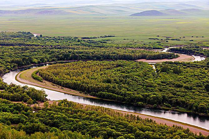
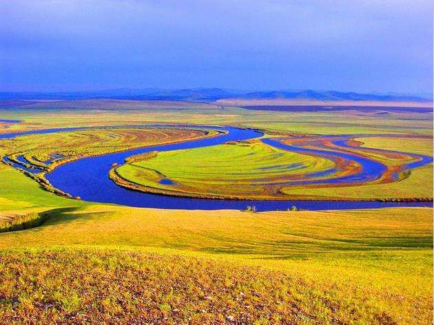
Erguna River
The Erguna River was an inland river of China during the Mongol Empire and the Northern Yuan period. In 1689, with the signing of the Treaty of Nerchinsk between China and Russia, it became the border river between China and Russia. The Erguna River is a mountainous river, originating from the western slope of the Greater Khingan Range. Its upper reaches are called the Hailar River, flowing westward near Manzhouli and then turning northeast, where it is known as the Erguna River.
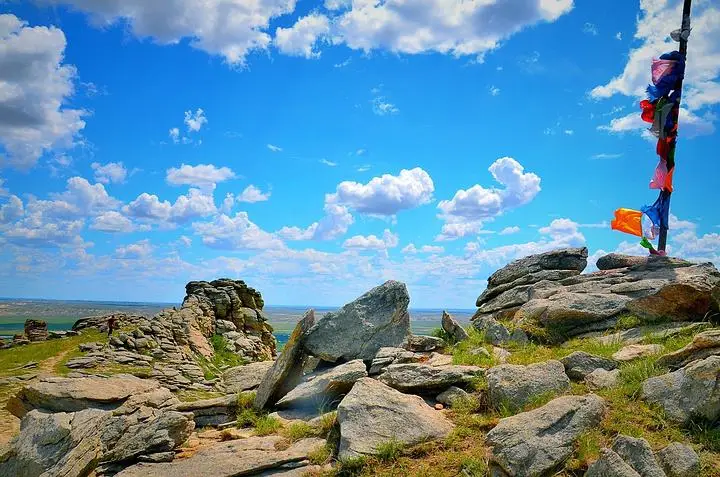
Hulunbuir Daqing Mountain
In northern China, Inner Mongolia, there stretches a famous mountain range called the Yinshan Mountains, which extends for several hundred kilometers from east to west. It connects with the Jibei Mountains in the east and with Helan Mountain, Beida Mountain, and Mazong Mountain in the west, forming an ecological transition zone along the southern edge of the semi-arid and arid regions of Inner Asia.
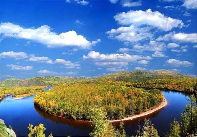
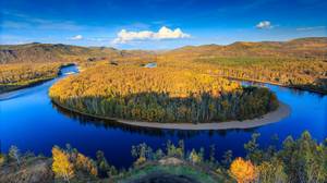
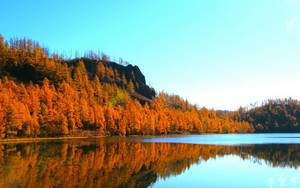
Moerdaoga is a Mongolian term meaning 'a steed going on an expedition.' Moerdaoga Forest Park is located in the heart of the Daxing'anling forest area and is the largest forest park in China. It is primarily composed of northern China's characteristic coniferous virgin forests, featuring numerous scenic forests and rivers. Every autumn, the leaves turn yellow and red, creating a stunning landscape that is a favorite among photography enthusiasts. The Moerdaoga scenic area also offers unique recreational activities such as island visits and rafting. If you're lucky, you might even spot some of the park's wild animals.