7-day tour of Hulunbuir Grassland
2 cities |
18 attraction(s) |
total distance 942
km
 TIPS
TIPS
Day1
Day2
Day3
Day4
Day5
Day6
Day7
Day1: DaXingAnLing
1 attraction(s) ·
0 km
1
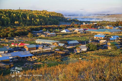
Polar Village, formerly known as Mohe Village or Mohe Township, is the northernmost tourist attraction in China. Here you can find unique geographical landmarks such as the northernmost households, the northernmost outpost, and the northernmost post office in China.
Day2: DaXingAnLing
4 attraction(s) ·
239 km
2
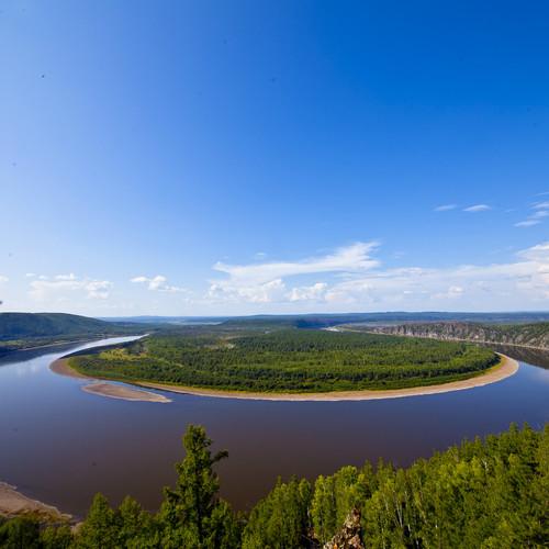
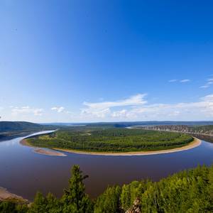
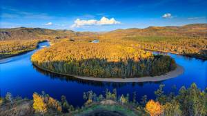
The First Bend of Heilongjiang River is a unique landscape formed by the rapid flow and rotation of Heilongjiang River. It presents different scenes throughout the year, and provides a spectacular panoramic view from the mountain top.
24
km
4
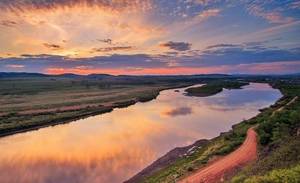
The Nine Bends and Eighteen Turns are located on Segment 485 of the Jiamo Highway. From this viewing platform, you can enjoy the magnificent beauty of the Nine Bends River surrounded by lush green pines and cypresses. The Nine Bends and Eighteen Turns is the northernmost wetland in China and a natural and pristine wetland. It is spectacular during the 100-plus days from June to September. In the early morning from 3:00 to 9:00, when you are at a high point overlooking the area, the scenery is like a fairyland, with clouds and mist swirling around, bringing a refreshing feeling. In winter, standing on the viewing platform and looking into the distance, the Emei River covered in ice and snow looks like a white dragon winding through it. The glaciers on the banks are pure white and translucent, some resembling mushrooms, some resembling precipices, and some resembling caves. They fully show the uniqueness, coldness, and grandeur of the northern region and the stunning beauty of the snowy wilderness. This is a fantastic natural wonder gifted to the Greater Khingan Mountains by nature's incredible craftsmanship.
Day3: Hulunber
2 attraction(s) ·
115 km
Day4: Hulunber
4 attraction(s) ·
149 km
1
Longyan Mountain is located on the east side of Moerdaoga Town, with an elevation of 1,000 meters. It stretches more than 70 li from east to west, with a long dragon-shaped rock of more than 200 meters on the west slope. The dragon's head soars high and grand; the dragon's body is vigorous, with iron bones and copper armor; the dragon's tail is steep and hidden deep in the mountains. The name "Longyan Mountain" originates from this. There is dense natural forest growth on Longyan Mountain, with various tree species such as camphor, pine, larch, white birch, and poplar. There are also all kinds of flowers such as rhododendron, raspberry, lily, and orchid. In front of the mountain, there is a mountain climbing path for tourists, and behind the mountain, there is a winding mountain road for vehicles. Whether walking or taking a car, visitors will be amazed by the wilderness and novelty of the Daxing'anling Mountains.
70
km
2
There is a village by the Erguna River, named Linjiang Tun because the locals refer to the river as "Jiang".
1
km
3
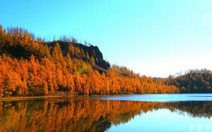
The Eagle's Beak is located about 7-8 kilometers north of Linjiangtun, Eerguna City. It is named after a rock that resembles an eagle's beak. The area is lush with vegetation, filled with birdsong and fragrant flowers, and offers peace and tranquility. Climbing to the top of the mountain, one can also enjoy a distant view of the scenery. It is a unique attraction for locals to go hiking and appreciate the autumn.
79
km
Day5: Hulunber
2 attraction(s) ·
50 km
1
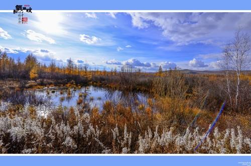
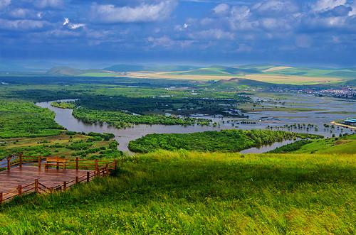
It is currently the best-preserved and largest wetland in China, highly favored by photography enthusiasts.
50
km
2
Located 60 kilometers southwest of Ergun City, Inner Mongolia. The western and northwestern parts face the Priargunsky District of Russia across the Ergun River. The total area of the town is 1,065.68 square kilometers, with a border length of 130 kilometers and a water boundary with Russia stretching for 86.7 kilometers. In 1689, after the signing of the Sino-Russian Treaty of Nerchinsk, the Qing government established Karen (outposts) along the Ergun River, including Sanka, Sika, Wuka, Liuka, all within the territory of Heishantou. In 1952, Heishantou was placed under the jurisdiction of Ergun. Heishantou Town is a multi-ethnic residential area with ethnic Chinese descendants and Russians as the main population, with Han Chinese being the majority. The main transportation artery for passengers and goods in Heishantou Town is the Labu Daling-Heishantou Highway. In 1989, Heishantou Town was approved by the State Council as a first-class national land port.
Day6: Hulunber
3 attraction(s) ·
184 km
1
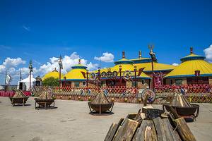
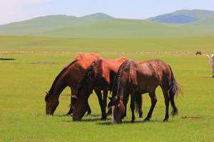
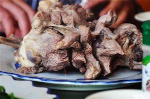
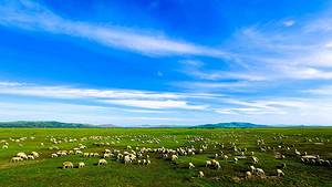
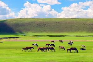
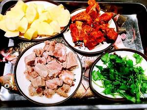
"Hulunbuir Grassland is the most beautiful grassland pasture in China, with pure blue sky, white clouds, and high-quality grass, making it a great place for grassland photography. Besides the stunning scenery, you can also ride horses and camels, watch wrestling and horse racing, and enjoy a traditional 'whole lamb feast' to experience the unique culture of nomadic ethnic groups. The best time to visit Hulunbuir Grassland is from June to September, with July and August being the peak season when the grass is lush and the Nadam Festival is held. As the grassland is vast and sparsely populated, it is recommended to rent a car or drive by yourself. In summer, pay attention to mosquito protection and keep warm at night. Tips: It is recommended to learn about the local customs of ethnic minorities before traveling and respect the customs of local people."
179
km
2
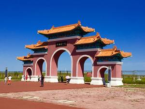
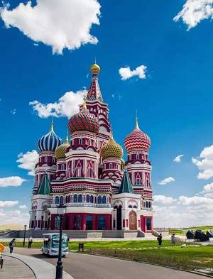
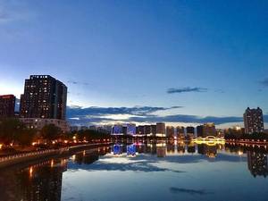
Gates of the Country Scenic Area is a iconic tourist destination in Manzhouli City and a key national red tourism site.
6
km
Day7: Hulunber
2 attraction(s) ·
208 km
2
The Morogoro River, also known as the Morijin River, is known as the "number one winding water in the world". It is formed by the convergence of springs, and twists and turns like a soft ribbon floating on the grassland. It is a great wonder on the Hulunbuir grassland.


