Tour itinerary to Yalu River and Changbai Mountain on the China-North Korea border
5 cities |
18 attraction(s) |
total distance 1102
km
 TIPS
TIPS
Day1
Day2
Day3
Day4
Day1: Fushun > Baishan
4 attraction(s) ·
272 km
1
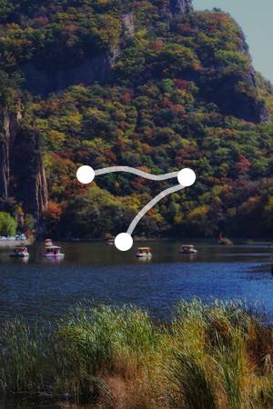
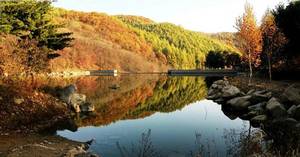
Salhuhu Scenic Area is known for its vast water surface, undulating mountains, dense forests, and rich historical relics, forming a magnificent landscape with green mountains, blue water, ancient caves, and unique rocks. It showcases the charm of both a peaceful lakeside landscape with misty hills and tranquil waters, and the grandeur of rugged and picturesque mountain scenery. It is a large-scale natural landscape and scenic spot in Liaodong, and is known as the "scenic pearl" of Liaoning.
5
km
2
Good location, convenient transportation. The environment is good, clean, and the dishes are served quickly. The portion size is quite large and the taste is good. The owner is also friendly and easygoing.
266
km
4
Good environment, good service attitude, fast delivery, and most importantly, it's affordable.
Day2: Baishan
5 attraction(s) ·
135 km
1
The Yalu River originates from Changbai Mountain, and Changbai Mountain Tianchi is the source of the three rivers. Therefore, the Yalu River flows down the southern slope of Changbai Mountain, with picturesque scenery on both sides. It is only wide enough to be called a stream and appears very shallow. However, the water flow is very rapid, probably due to a large drop in elevation. The river water is blue, and in some places it appears ink-like, which is very beautiful. There is a North Korean sentry post on the opposite bank of the river, which is less than 10 meters wide.
107
km
3
The Wàngtiān'è Scenic Area is located in the Wàngtiān'è Canyon, one of the fifteen valleys of Changbai Mountain. Wàngtiān'è Mountain has an elevation of 2051.4 meters and is the second highest peak in Northeast China.
11
km
5
Day3: Yanbian > Baishan
5 attraction(s) ·
564 km
1
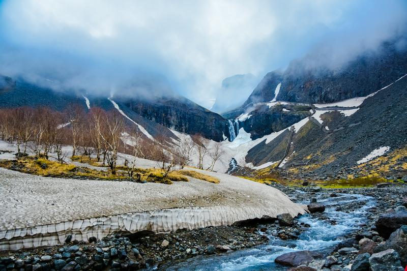
Mount Changbai is located in Antu County, Yanbian Autonomous Prefecture, Jilin Province, and Fushun County, Baishan City. It is the boundary mountain between China and North Korea, one of the top ten famous mountains in China, a national 5A-level scenic area, and the number one mountain in the Kanto region. It is named after its main peak, which is covered with white pumice and snow, earning it the reputation of "the first peak on earth with thousands of years of accumulated snow". The highest peak in China, Baiyun Peak, has an elevation of 2,691 meters and is the highest peak in Northeast China, while the highest peak of Mount Changbai is Changgun Peak, which is located in North Korea. Mount Changbai is the highest and largest volcanic body in northeastern China. It also has a beautiful meaning of "staying together until old age".
16
km
2
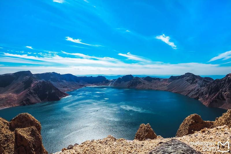
Located at the top of the volcanic cone in the Changbai Mountain Scenic Area, it is the source of the Songhua River, Tumen River, and Yalu River, as well as the deepest lake in China.
320
km
3
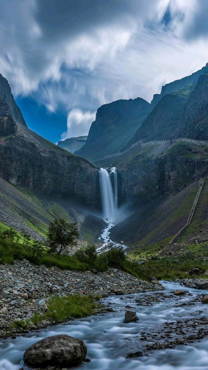
The Changbai Waterfall is located on the northern slope of Tianchi, at the end of Chongcha River. It is easily accessible by the environmental-friendly shuttle in the scenic area and is named after the famous scenic spot of Changbai Mountain.
229
km
5
Chinese buffet, Szechuan cuisine, Cantonese cuisine available. Can accommodate 200 people for dining. Restaurant has 3 private rooms: Iris Room, Golden Lotus Room, Lily Room.
Day4: Benxi > Shenyang
4 attraction(s) ·
133 km
1
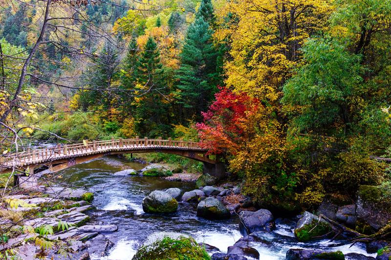
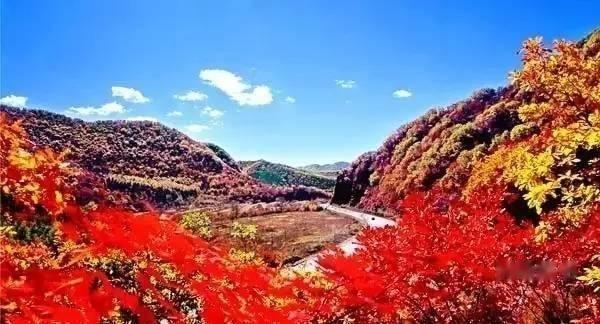
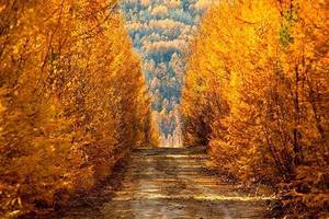
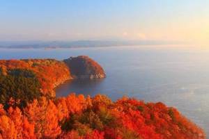
During the journey, crossing the popularly known "China Maple Leaf Avenue" - Benhuan Highway from Benxi to Huanren in Liaoning, becomes a picturesque scenic route in autumn, particularly the 20-kilometer stretch between the Xinkailing Tunnel and the Da'ao Ridge Tunnel, where the vibrant and stunning views enchant people.
47
km
2
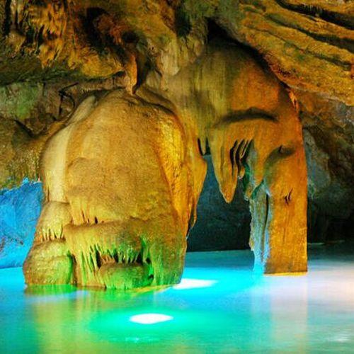
Benxi Water Cave
Located in the northeast of Benxi, consisting of six scenic areas, it is currently recognized as the world's longest underground karst cave system with water, and is renowned as the "Little Huangshan in the Northeast".
4
km


