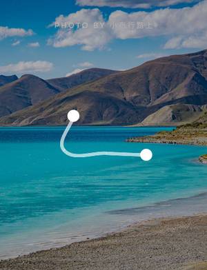
Lhasa River, A Serene River of Happiness and Joy
Lhasa City, Tibet Autonomous Region
5
Introduction
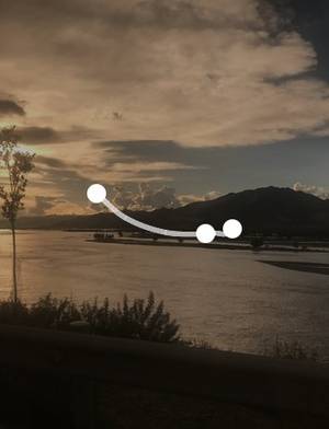
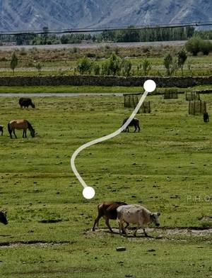
The Lhasa River, located in the central and southern part of Tibet, is also known as Jiqu, meaning "happy river" or "fortunate river". Its source is on the northern side of Lhozhag Mountains in the middle section of the Nyenchen Tanglha mountain range. It flows through Mozhugongka County, Dazi District, and finally joins the Yarlung Tsangpo River. The total length of the river is 568 kilometers, with a drainage area of 31,760 square kilometers, making it one of the five major tributaries of the Yarlung Tsangpo River. The peaks on both sides of the Lhasa River are mostly between 3600 and 5500 meters, making it one of the highest rivers in the world. The climate is mild, the terrain is flat, and the soil is thick. The water source is abundant and the soil is good. The basin also has rich plateau plants and animals as well as geothermal resources. Therefore, the Lhasa River is also one of the important grain producing areas in Tibet. Address Lhasa City, Tibet Autonomous Region
Opening hours All day (24/7)
(January 1st - December 31st, Monday-Sunday)
Transportation Take bus lines 3, 4, 5, 8, 9, 10, 11 (loop line), 12, 15, and 17 to get off at the Postal Bus Terminal.
 The Lhasa River is wide
