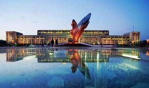
Hebei Saihanba National Forest Park
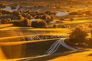
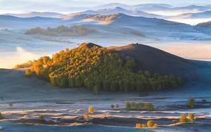
The builders of Saihanba Forest Farm spent 55 years transforming the desert into a place with flowing rivers, clouds, and flowers, as well as the songs of birds. It is a testament to their commitment to ecological construction and protection. Today, Saihanba stands as a symbol of the "Saihanba Spirit" advocated by President Xi, where environmental conservation is prioritized over material wealth. With vast forests, expansive grasslands, crystal-clear lakes, and historical relics from the Qing Dynasty, Saihanba is a place where different ethnic cultures blend together, giving birth to a rich national charm. This winding asphalt road connects Saihanba with the Ulan Butong Grassland, offering a magnificent and colorful scenery during autumn.
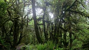
Frog dam
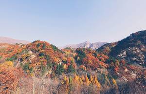
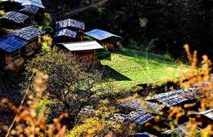
The name origin of Hama Ba is unclear, but it is a "treasure land" for photography with its endless opportunities and constant freshness. The charm of Hama Ba can be described as "natural", with two mountains running north and south and a small river that can be crossed in a single step at the bottom of the valley. Scattered along the slopes are dozens of thatched cottages and newly built red brick houses. The crowing of chickens, barking of dogs, and smoke rising from the cooking fires, isn't this a rustic and primitive rural flavor?
Beigou
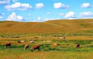
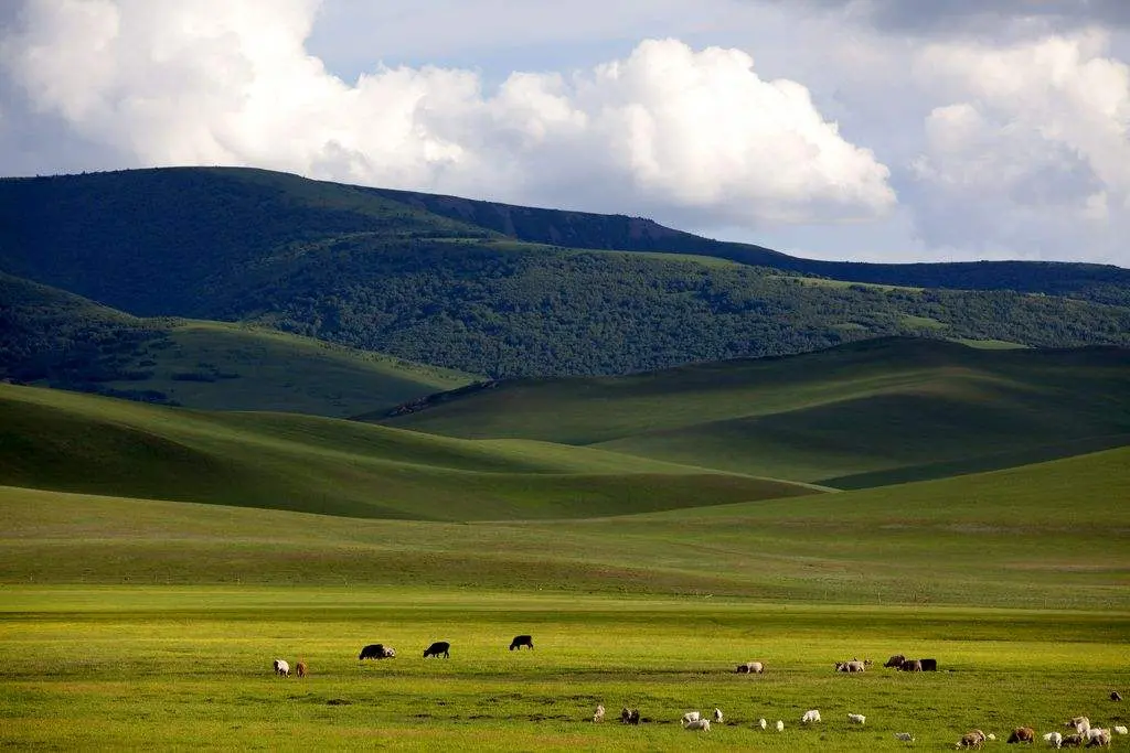
Due to its location in the north of the original field, spanning from north to south of the military horse field for more than ten kilometers, locals habitually call it "North Gou", so it is called "South Gou". North Gou is most famous for its sunrise, climbing up the mountain, looking into the distance as the sky slowly turns fish belly white, with thousands of miles of morning glow. At the moment when the sun rises out of the horizon of the grassland, a dazzling brightness suddenly appears. Morning mist, Mongolian yurt, and grassland combine to form a wonderful scenery. I remember once setting off at 4 o'clock in the morning, and all the car lights along the way were lit, like a necklace embedded in the dark grassland.
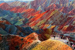
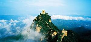
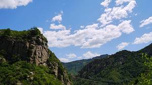
Located in the northeast of Keshiketeng Banner, Inner Mongolia, at an altitude of 2029 meters, it is a branch of the Greater Khingan Range. Here, the most intact form of the Quaternary glacier is preserved. It is a typical valley glacier, with glacial features such as cirque, U-shaped valley, arete, terminal moraine, lateral moraine, and striated boulder in the Huanggang Ridge on both sides. It is the best preserved, complete glacier landform with the highest scientific research value among the discovered Quaternary glacier relics.
Daqingshan
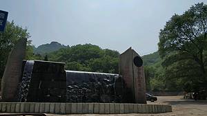
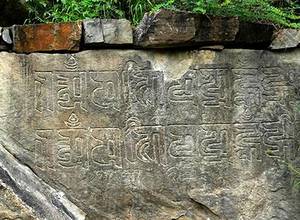
Dachishan Park is one of the nine geological parks in Keshiketeng Banner. The scenic area is home to Inner Mongolia's first mountain cableway, known as the "largest petroglyph in Inner Mongolia". Tourist attractions include the fourth season glacier relic Yanjiu, petroglyphs, peaks, and alpine meadows.
Dalinor Lake is a plateau inland lake, translated as "a sea-like lake" in Chinese. It is one of the four famous lakes in Inner Mongolia and the largest lake in Chifeng City, Inner Mongolia.