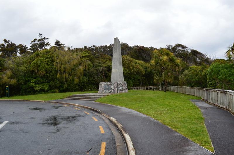
13-day exploration tour of South Island
17 cities |
44 attraction(s) |
total distance 1565
km
 TIPS
TIPS
Day1
Day2
Day3
Day4
Day5
Day6
Day7
Day8
Day9
Day10
Day11
Day12
Day13
Day1: Christchurch
4 attraction(s) ·
12 km
1
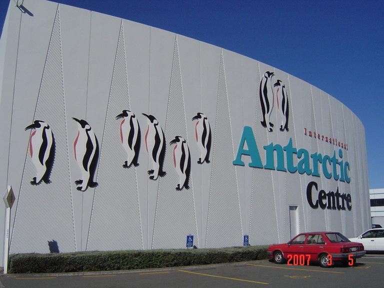
This is a complex of buildings near the main station at the airport, established for managing Antarctic research projects for New Zealand, the United States, and Italy. It is also a science museum and knowledge center that children will love. Here, you can learn about the history and geology of Antarctica, as well as see specimens collected underwater. A highlight is the "Antarctic Storm Chamber," which allows you to experience the cold of the icy continent firsthand. Inside the center, you can also take a Hagglund Ride, an off-road adventure experience.
10
km
2
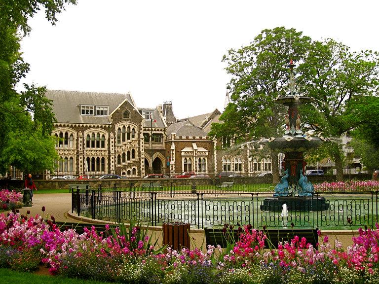
This 300,000 square meters of green land by the Avon River is undoubtedly the most comfortable and pleasant place in Christchurch. With over ten thousand different plants, the park displays various colors in different seasons, creating a stunning spectacle. Whether it's the elderly, children, couples, or friends, strolling in the botanical garden or having a cup of coffee at the cafe inside the park is the best way to experience this "Garden City." The visitor information center is located between the botanical garden and Canterbury Museum, where any questions can be promptly addressed.
2
km
3
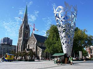
The cathedral, located in the city center of Christchurch, was once a landmark building, but it was damaged in the earthquakes in 2010 and 2011. It is still replaced by cold scaffolding instead of the original elegant Gothic spire. Travelers can see the abandoned cathedral after the earthquake through the fence. Although there is still no consensus on whether to rebuild the cathedral, how to rebuild it, or whether to maintain the post-earthquake appearance, Cathedral Square remains a leisure place for the people of Christchurch. The artistic leisure chairs, western-style chessboard, inverted cone sculpture, colorful murals, weekend street performances, and the old tram parked on one side still make this square full of artistic atmosphere.
1
km
4
Imagine yourself sitting in a flat-bottomed boat, cruising in the Avon River, with groups of ducks swimming past you. You gaze at the river shimmering with red light under the sunset, and can't help but sigh, how beautiful it is!
Day2: Timaru > Dunedin
4 attraction(s) ·
226 km
1
2
km
2
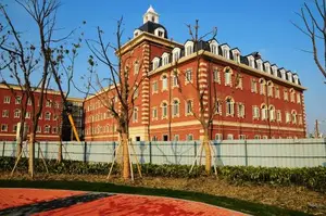
White buildings stand out in the reflection of the blue sky, majestic and magnificent.
211
km
3
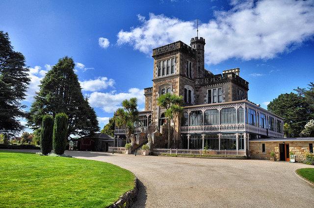
This luxurious castle is located at the highest point of the Otago Peninsula. It was built in 1871 by William Larnach, a businessman and politician in Dunedin in the 19th century, for his first wife. It is the only castle in New Zealand. The interior is filled with luxurious furniture and exquisite decorations. For example, the splendid ballroom was a 21st birthday gift from the wealthy owner to his daughter. Today, visitors can enjoy food and coffee in the café here. The garden in front of the castle is tranquil and beautiful, offering views of the peninsula and harbor. However, this prominent landowner ultimately ended his life with a self-inflicted gunshot due to financial crisis in 1898.
14
km
4
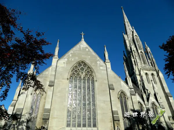
The First Church in Dunedin was built in 1862 and is New Zealand's first church. It was open for worship on November 23, 1873, and underwent extensive repairs in 1991-1992. The church was designed and built by the renowned architect and devout Christian, Robert Arthur Lawson, in a Gothic style. It features numerous spires clustered together as decorations, giving the church's tower the appearance of a crown. The main tower is 56 meters high and dominates the skyline around the square, visible from the center of the square. The interior of the church, including the porch, bell tower, nave, pulpit, sanctuary, organ, St. Andrew's vestibule, windows, carpeted Moray Hall, and exterior, all have their own unique characteristics.
Day3: Dunedin > Te Anau
2 attraction(s) ·
241 km
1
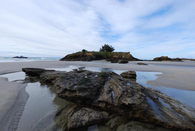
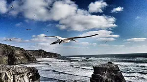
Departing from the pier, there is a 20-minute walking path along the beach. This used to be a long-distance highway. Catlins has charming southern beaches, which is a great place to see seals/sea lions/walruses. At the starting point of the northern end of the road, there is a popular waterfall for tourists.
241
km
2
Fiordland National Park is one of the most beautiful and vibrant areas in New Zealand. It is located in the southwestern tip of the South Island, adjacent to the Tasman Sea. It was established as a protected area in 1904, designated as a national park in 1952, and became a UNESCO World Heritage Site in 1990. It is one of the largest national parks in the world, featuring hundreds of meters high waterfalls, ancient rainforests, and granite peaks. It is also known as the "City of Jade" due to its production of the valuable mineral resource "greenstone".
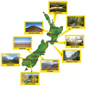
The Waiau River between Te Anau and Manapouri is the Anduin River in the film, and the Fellowship of the Ring travels south along this river from Rivendell. The towering mountains surrounding it represent the harsh environment of the southern region of Lórien depicted in the film. The Takaroa Road is close to Te Anau, and the Fangorn Forest in the film is inspired by the scenery on both sides of the road. The scene of Aragorn walking through the forest was filmed using a remote-controlled camera attached to a high wire. If you want to explore the Fangorn Forest, you can inquire about the route to Takaroa Road. In Te Anau, you can take a jet boat tour on the Waiau River, admire the misty mountains on a cruise in the magical fjords, or experience the breathtaking scenery along the Kepler Track.
Day4: Queenstown
1 attraction(s) ·
0 km
1
Milford Sound
Known for its towering peaks and wildlife, Milford Sound attracts a large number of travelers. With a height of 1,682 meters, Mitre Peak is one of the highest peaks in the world that rises directly from the seabed. It is named after its resemblance to a bishop's mitre. Bowen Falls, a permanent waterfall within Milford Sound, is 161 meters high. Another permanent waterfall called Sterling Falls is 155 meters high. Travelers can also get up close to seals along the shores of Milford Sound, and if lucky, they might spot penguins, dolphins, and whales. It rains for more than 200 days a year in the fjord. The misty atmosphere adds to the enchanting feeling, allowing visitors to witness the magnificent spectacle of numerous waterfalls cascading from the sky. Travelers can choose to join a day tour of Milford Sound offered by cruise companies, either with a combination of coach and cruise or with a combination of airplane and cruise. The usual itinerary for the coach and cruise tour departs around 7:00 am, with a 30-minute stop at Te Anau for rest. The driver will make stops at the main scenic spots along the Milford Road for photo opportunities. Between 12:00 pm and 1:00 pm, passengers will board the cruise for a approximately 2-hour excursion in the fjord. After the cruise, they will return to Queenstown by coach, arriving around 7:30 pm. Most tour companies offer free hotel transfers (please confirm when booking, as some hotels may be exceptions depending on their location). The airplane and cruise tour takes about 4-4.5 hours, and the tour company provides complimentary hotel transfers. Real Journeys and Southern Discoveries are the two best cruise companies in Milford Sound, offering both day tours and airplane+cruise tours. Both companies provide Chinese-language tour information on board.
Day5: Te Anau > Queenstown
4 attraction(s) ·
193 km
1
Lake Te Anau is a lake in New Zealand, located in the Fiordland National Park in the southwest of the South Island. It is 55 kilometers long and has an area of 344 square kilometers. It is the second largest lake in the country, second only to Lake Taupo. It has an elevation of 210 meters and a maximum depth of 417 meters.
Lake Te Anau is the largest glacier lake in the southern hemisphere, covering an area of 344 square kilometers. The main body of the lake runs north to south. Three huge arms extend from the west like arms, known as the North Arm, Middle Arm, and South Arm. It is also known as "Te Anau Lake". It is the second largest lake in New Zealand and is located in the mountainous region of the southwest of the South Island, 120 kilometers northwest of Invercargill. The lake is 61 kilometers long, with a maximum width of 9.7 kilometers and an area of 344 square kilometers. The lake has a depth of 276 meters. The Waiau River originates from here. There are many small harbors and bays around the lake. It produces salmon and sturgeon.
144
km
2
KINGSTON
KINGSTON is a small town located at the southern end of Lake Wakatipu in Queenstown. The distance from Queenstown to Kingston is about 60 kilometers. The scenic drive is definitely worth a visit.
48
km
4
Queenstown Mall is a famous shopping street in Queenstown. It offers a wide range of goods, including many souvenirs for tourists, as well as various New Zealand specialties such as honey, infant milk powder, skincare products, and more.
Day6: Queenstown
4 attraction(s) ·
25 km
1
Lake Wakatipu, the third largest lake in New Zealand, is shaped like a lightning bolt and offers beautiful scenery. The Dart River flows into the northern end of the lake, while the Kawarau River, originating from Queenstown, merges with it at the lake's outlet. The lake is located in a glacially-formed channel surrounded by high mountains, with Mount Earnslaw being the highest peak at 2819 meters. The towns surrounding the lake include Queenstown, Kingston Village, Glenorchy, and Kinloch. This area is also a popular destination for outdoor activities in New Zealand, and bungee jumping, a world-famous sport, originated here. One of the activities beloved by tourists is taking a cruise on the historic steamship TSS Earnslaw to explore the lake's scenery. In the early 20th century, the Earnslaw primarily transported goods for lakeside farms, but today it is well-preserved and carries tourists to Walter Peak Station to experience the charm of sheep farming. Simply lying by the lake and enjoying the tranquility is already a wonderful experience.
2
km
2
The oldest church in Queenstown was built in 1861 by the first group of overseas immigrants to Queenstown. All the stone used in the construction of the church was transported from Queenstown Bay. The church features a beamless structure, with a delicate pipe organ and intricately painted stained glass windows inside. The cedar pulpit was carved in the 1880s by a Chinese immigrant named Ah Tong.
1
km
3
Skyline Queenstown
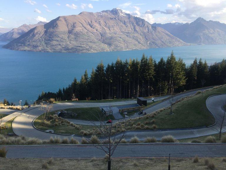
Queenstown offers endless adventure activities. You and your family can surely feel the excitement here. Take the Skyline Gondola to the mountaintop in just 10 minutes, enjoy the breathtaking 360° views. The Skyline Luge, a unique invention, takes you on a fun and leisurely ride. The 800-meter track is safe and suitable for beginners. Control your ride as you accelerate. After the thrilling ride, take the Luge chairlift back to the starting point and do it all over again. Come and experience the joy of "driving" and enjoy the beautiful scenery along the way.
24
km
4
Kawarau Bridge Bungy Center is the birthplace of bungee jumping and the most representative outdoor adventure spot in Queenstown. The center is open to visitors for free, offering free short films about the history of bungee jumping. The famous Kawarau River is located beneath the Kawarau Bridge, and bungee jumpers can choose whether to touch the water and request the staff to adjust the bungee cord to meet different requirements.
Day7: Queenstown > Mount Cook Village
2 attraction(s) ·
246 km
1
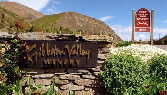
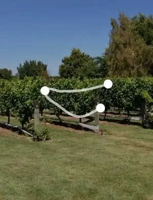
Gibbston Valley, also known as "The Valley of Vines," is one of the most beautiful wine-growing regions you may ever see. Despite its harsh natural environment with cold winters, hot summers, and significant temperature differences between day and night, it consistently produces internationally acclaimed premium wines. Over 70% of the grapes grown here are Pinot Noir, while other varieties include Chardonnay, Pinot Gris, Riesling, and Sauvignon Blanc. The reputation of its Pinot Noir wines is exceptionally high.
246
km
2
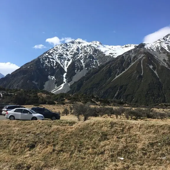
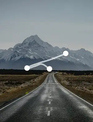
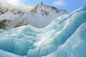
Mount Cook National Park is located in the southeast of the Southern Alps, adjacent to Westland National Park, Aspiring National Park, and Fiordland National Park. The park features nearly 20 mountains over 3,000 meters and 360 glaciers, including Mount Cook at an elevation of 3,753 meters, which is the highest peak in New Zealand, and the Tasman Glacier, which stretches for 27 kilometers and is the longest glacier in New Zealand.
Day8: Twizel > Lake Tekapo > Wanaka
4 attraction(s) ·
318 km
1
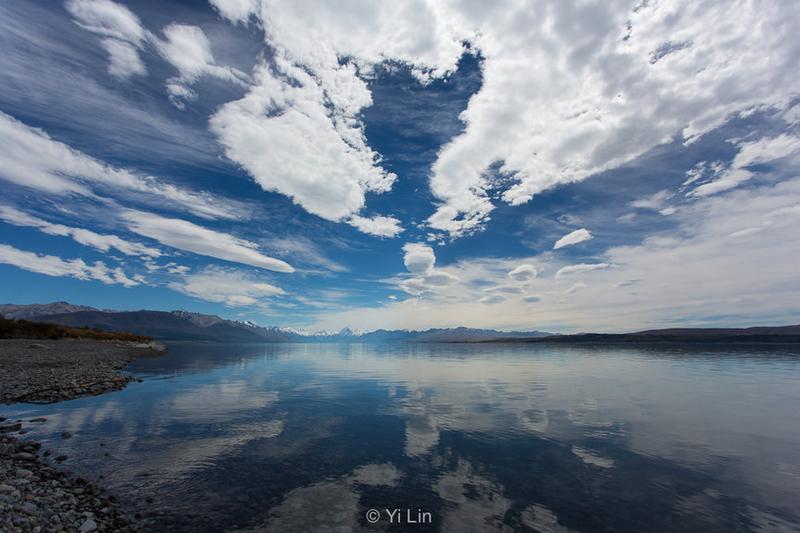
In "The Hobbit: An Unexpected Journey," there is a scene where a group of impressive warg riders chase the dwarf expedition to Rivendell, the Elven Valley. This scene was filmed near Lake Pukaki in the Mount Cook Mackenzie region. During filming, the entire Hobbit crew stayed on nearby farms. After filming was finished, these farms also opened to visitors. By driving to this area and visiting Braemar Station, you can participate in various farm activities: doing farm work, fishing, cycling, or enjoying a peaceful dinner by the lake.
64
km
2
Church of the Good Shepherd
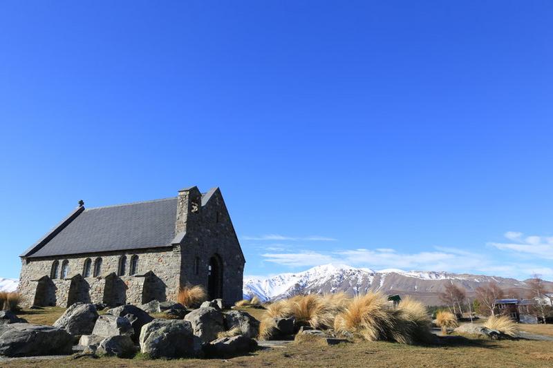
This church, named Church of the Good Shepherd, was built in 1935 by the renowned architect Benjamin Woolfield Mountford. Its unique Gothic wooden and stone structure is one-of-a-kind in New Zealand. Located on the shores of Lake Tekapo, this beautiful stone church is set against a backdrop of vast scenic mountains and water, making it a popular venue for weddings. It is a famous landmark in New Zealand.
220
km
4
You can see the magnificent scenery of Wanaka town from Lake Wanaka. There are many activities to participate in along the lake and on the lake. Wanaka is a unique place, vibrant and full of a sports atmosphere. Cycling, water skiing, surfing, hiking, running, off-road motorcycling, winter skiing on skis or snowboards, or simply taking a walk around the beautiful lake... these are all activities you can consider.
Day9: Haast > Fox Glacier > Franz Josef Glacier
4 attraction(s) ·
121 km
1
Knights Point
Knights Point is a scenic lookout on the road from Haast to Fox Glacier, located by the sea. It is one of the filming locations for the movie "King Kong."
32
km
2
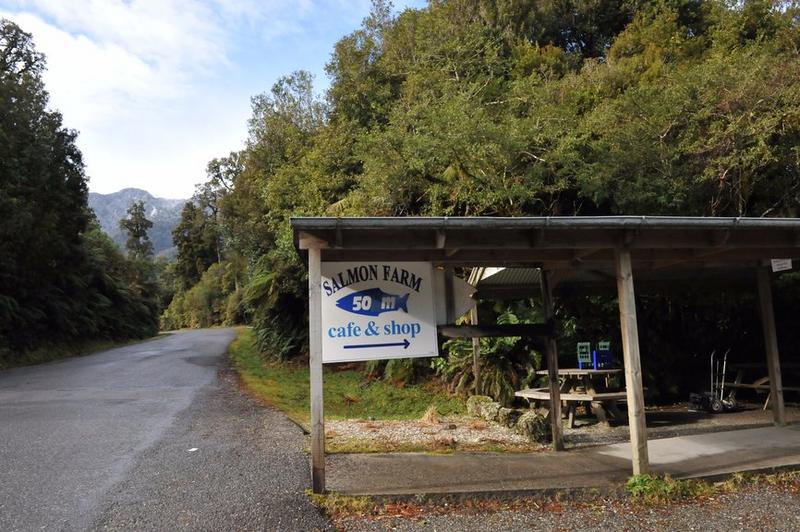
Near Bruce Bay, north of Haast Pass, there are signs along the highway leading to a side road where you can find a salmon farm. You can visit the salmon farming ponds and enjoy various salmon products. There are spacious outdoor and indoor restaurants with picturesque surroundings, which will whet your appetite.
The Salmon Farm Cafe offers fresh and smoked salmon delicacies. The cafe has a daily special menu featuring homemade sandwiches, cakes, slices, cookies, pancakes, and scones. They also serve a variety of hot drinks, beers, and beverages. During the suitable season, you can purchase delicious local whitefish at the souvenir shop.
63
km
3
Fox Glacier is a 13-kilometer-long glacier located on the West Coast of the South Island of New Zealand in the Westland Tai Poutini National Park. It was named by Mr. William Fox, the Prime Minister of New Zealand at the time of its discovery in 1872.
27
km
4
Roberts Point Lookout is the best place to view Franz Josef Glacier, requiring a 5-hour drive and hike.
Day10: Greymouth > Punakaiki
5 attraction(s) ·
56 km
1
Just like Neilson's Founders Heritage Park, this is also an artificial town resembling a movie set, recreating Greymouth in the 1960s during the gold rush. Here you can take a train ride, visit museums, have a drink at a bar, and even try real gold panning. It's a great place for both learning and entertainment, ideal for family outings.
13
km
2
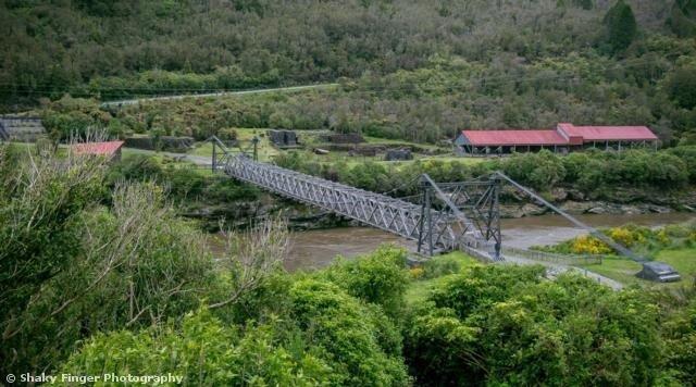
This is an important place in the mining history of New Zealand, witnessing the changes in mining history.
18
km
3
The distance from Greymouth is less than half an hour, and there are many beautiful arches, like the Twelve Apostles on the Great Ocean Road in Australia.
26
km
4
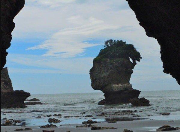
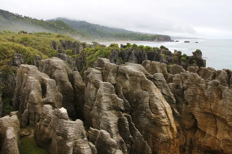
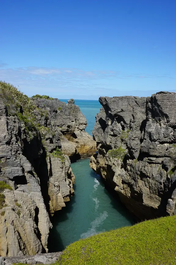
Greymouth's reputation precedes it, as it is about 50 kilometers north of Punakaiki, where there are Pancake Rocks formed by the continuous erosion of rocks by seawater. The stunning beauty created by weathering and marine erosion showcases the incredible work of nature. Visitors come here to witness the majestic free natural sight of the Pancake Rocks. Punakaiki is a small village on the west coast of the South Island of New Zealand, about a 40-minute drive from Greymouth. Most people who come here are eager to see the natural wonders of Pancake Rock & Blowhole. The Pancake Rocks, also known as the Layered Stone, are formed from limestone fault rocks and were created about 30 million years ago. The pancake-like formations and the geysers that shoot seawater up dozens of meters high make for a breathtaking sight, comparable to Australia's Twelve Apostles. The Pancake Rocks are located in the Paparoa National Park on the south side of the West Coast of the South Island. The park covers an area of 306 square kilometers, extending from the coast to the Paparoa Range. The park is renowned for its limestone karst landscape. To preserve the natural environment, the park's boundaries have been carefully demarcated to protect the geological features and ecological environment of the area. From the granite and schist peaks of the Paparoa Range to the layered rock formations of Punakaiki, the park offers diverse and spectacular scenery. Over millions of years, small marine organisms and sand layers have been stacked and buried underwater. After thousands of years of sedimentation and evolution, layers of hard limestone and soft sandstone have formed in the region. Subsequent tectonic activity raised the seafloor and eventually dried it up. The erosion caused by wind and rain began to slowly shape the softer sandstone, resulting in the formation of hundreds of pillars standing between the cliffs, resembling towering layers of pancakes. The formation of the Pancake Rocks in Punakaiki is believed to have occurred over the past 35 million years. The rocks were formed from fragments of marine organisms on the seafloor, but scientists have yet to determine how the rocks were layered. Over the past 25 million years, continuous sedimentation formed layers resembling clouds. About 5 million years ago, the seafloor rose. In the past 100,000 years, the present layers of the Pancake Rocks emerged from continuous erosion by seawater, wind, and rain. Just as they were formed, the Pancake Rocks are still subject to constant erosion and dissolution by the sea, wind, and rain, and the offshore rock formations will eventually be reclaimed by the sea. According to geological studies, the Pancake Rocks are estimated to be about 35 million years old. At that time, the sea level fluctuated due to changing climate, and at certain times the depth and temperature of the sea were conducive to the development of marine organisms such as shells. Sedimentation from mudflows caused by earthquakes or floods buried the marine organisms, and the skeletons of the organisms beneath the sedimentation layer formed limestone, while the compacted mud layers became mudstone. This process repeated itself multiple times, reflecting numerous geological disasters that resulted in the death and accumulation of marine organisms.
1
km
5
Punakaiki in New Zealand is famous for its incredible pancake rocks and blowholes. The weathered limestone formations look like stacks of thin pancakes, and during high tide, seawater rushes into the caves and spouts out of the waterholes, creating a tremendous roaring sound.
Day11: Nelson > Blenheim
4 attraction(s) ·
116 km
1
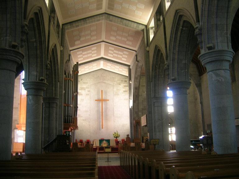
Nelson Christ Church is one of the main churches in the Nelson area. It is a grey marble building located on a hill in the city center. Despite holding worship services every Sunday at 7 pm, the church still follows the traditional Anglican (Church of England) practices. From the steps of the church, you can enjoy a panoramic view of the city center and walk down the slope on the west side to explore the well-preserved historical street, South St, where you can discover some artistic shops and galleries.
2
km
2
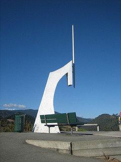
The Geographical Centre Monument of New Zealand is located on the top of Botanical Hill, and is one of the most famous landmarks in Nelson. Enjoying the scenery below the mountain at the geographical center of New Zealand would be a unique experience, and you can also learn about some related Nelson history here.
2
km
3
When you walk along the Maitai River towards the Center of NZ, you will pass by this beautiful Queen's Garden. It is located on the east side of the city center and is a great place for a walk. In the northwest corner of the garden, there is a nice gallery called Suter Art Gallery (208 Bridge Street, open Monday to Sunday from 10:30 to 16:30, donation entry) and Suter Art Café. The northeast corner is a small Chinese garden opened in 2007 to commemorate the friendly relations between Huangshi City, Hubei Province, China, and Nelson.
113
km
4
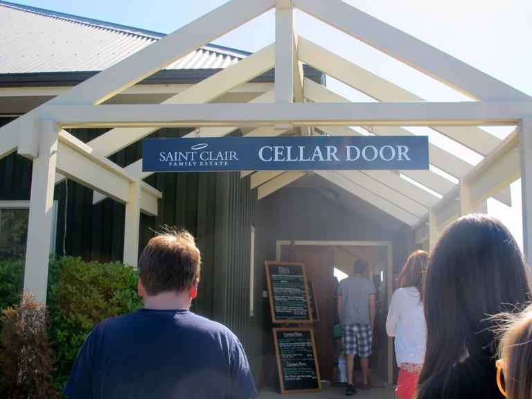
Wither Hill Winery was originally privately owned but now belongs to Lion Nathan beer company. Professional staff from the winery lead tours for visitors every morning at 11 o'clock.
Day12: Kaikoura
4 attraction(s) ·
12 km
1
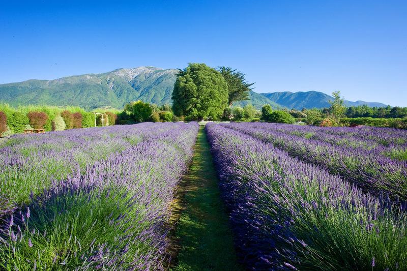
Kaikoura has many secrets, and the lavender garden is one of them. Walking along the paths in the garden, the scent of flowers fills the air, immersing oneself in the beautiful purple flower sea is a wonderful experience. There is also a lavender product shop on the estate, where many products are made from the lavender harvested in the garden, including lavender-flavored ice cream. If you can't bear to leave, you can choose to stay in one of the cottages in the garden, which will surely have a unique flavor.
7
km
2
Keikura Farm Park has over 100 species of animals, and visitors can get up close to observe, touch, and feed them, experiencing the unique and traditional atmosphere of a free-range farm. Visitors can bring a picnic or barbecue to the park and enjoy their meals in comfortable designated areas while admiring the beautiful Phi Phi scenery. There is also a small cafe in the park selling hot and cold drinks as well as some handmade cakes and cookies.
5
km
3
Kaikoura Peninsula Walkway allows you to easily explore the beautiful scenery and various wildlife of Kaikoura Peninsula. You can choose to complete the trail in half a day or a full day. If time is limited, you can choose to spend 25 minutes to the Whalers Bay viewpoint to experience the first part of the trail. At any point along the trail, you can personally experience the magnificent views where the sea meets the mountains. In Kaikoura, the Peninsula Walkway is a must-visit for budget travelers who enjoy photography and hiking.
1
km
4
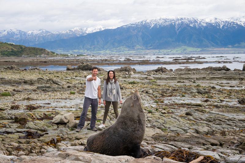
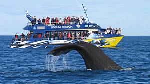
Kaikoura is a gateway to marine wildlife in New Zealand, with over 5,000 New Zealand fur seals living in coastal areas. The seal colony here has also been rated as the third most popular landmark tourist attraction in New Zealand by trip advisor! How do the people of New Zealand harmoniously coexist with the wildlife? Come and experience it firsthand in Kaikoura!
Day13: Christchurch
2 attraction(s) ·
4 km
1
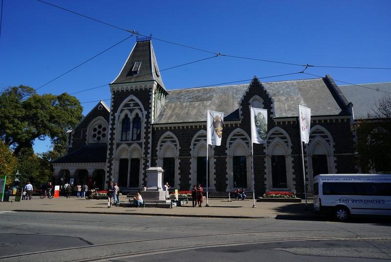
The Canterbury Museum is located in the center of Christchurch, and its exterior is a grand European-style building. The museum has exhibition halls that showcase New Zealand's history, nature, Māori culture, and art, as well as many Antarctic-related themes such as lifelike sculptures of emperor penguins and the Coracle, a lifeboat used by the survivors of a shipwreck on Disappointment Island in 1907. There are also many bird specimens from the South Pacific. Until July 2015, there was a special exhibition called Quake City (admission fee of 10 New Zealand dollars for adults), where you can learn about the impact of several major earthquakes on Christchurch since September 2010 and gain a deeper understanding of the city.
4
km
2
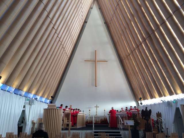
The Cardboard Cathedral is located in Christchurch, New Zealand. It is a transitional Anglican church and was opened in August 2013. It was designed by Japanese architect Shigeru Ban, who won the Pritzker Architecture Prize in 2014. The cathedral can accommodate up to 700 people. The altar stands at over 21 meters (69 feet) and is made of materials including cardboard tubes with a diameter of 60 centimeters (24 inches), wood, and steel. The roof is made of carbon fiber and eight shipping containers.
