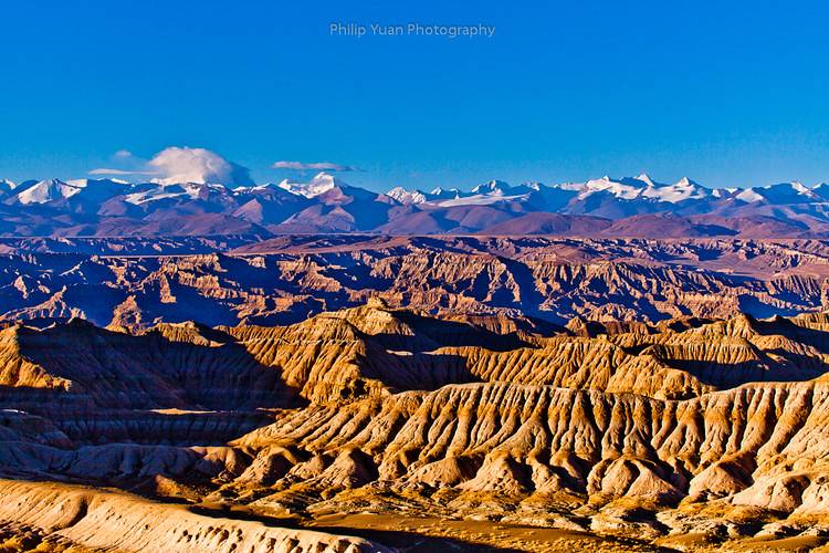
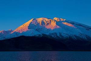
Zhada is located in the southwest of the Ali region, characterized by dry air and sparse vegetation. The 'river-lake phase' landform here forms an earth forest landscape covering 2464 square kilometers. The viewing platforms along the Zhada Valley and Sangda Valley roads offer great spots to capture the earth forest during sunrise and sunset, making it a recommended destination for photography enthusiasts.
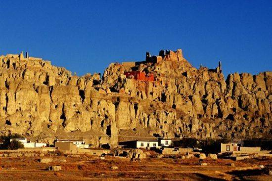
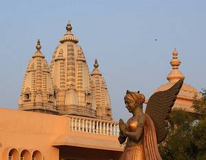
Ruins of the Guge Kingdom
The Ruins of the Guge Kingdom are located about 18 kilometers from the town of Zanda. The murals inside are illuminated solely by natural light, so it is best to visit early in the day. If time is insufficient on the day of your visit, you can also go the next morning. The Ruins of the Guge Kingdom are situated on a hillside, forming an ancient architectural complex from top to bottom. At the top is the ancient palace of the Guge Dynasty, which was built at the end of the 10th century and abandoned in 1635 following the fall of the Guge regime.
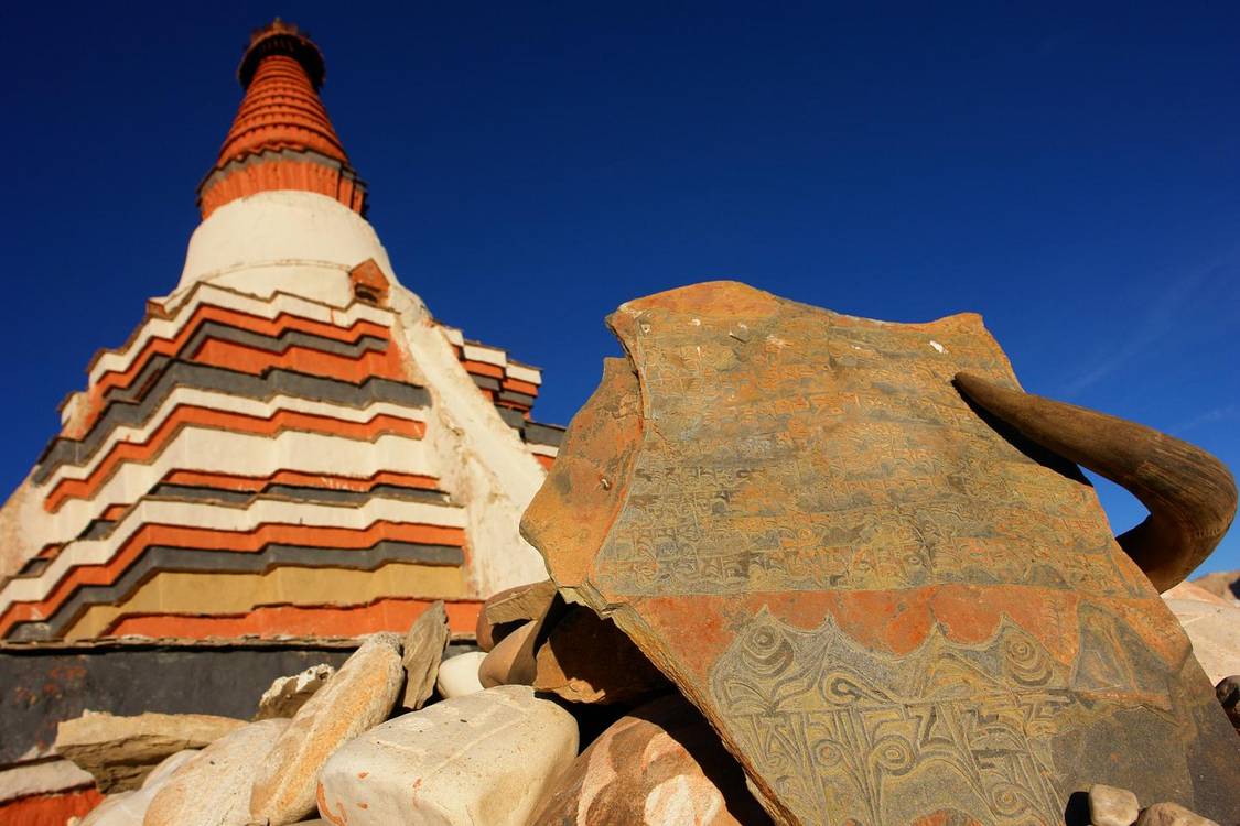
Tholing Monastery is located in Zanda County, with the Xiangquan River flowing nearby. The monastery was built during the Guge Kingdom period and is the oldest Buddhist monastery in the Ngari region. Visitors interested in Tibetan Buddhism can visit the monastery to see the stupas and murals.
Xiangquan River
After turning from Tolin Temple Road onto G565, you will cross the Xiangquan River Bridge. The Xiangquan River is one of the main rivers in the Ali region, named after its source valley which resembles an elephant's trunk. Its basin is the birthplace of the Xiangxiong Kingdom and the Guge Kingdom.
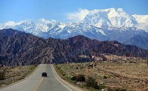
Pangong Tso
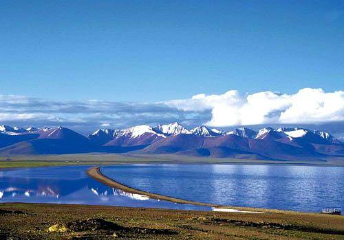
After entering the territory of Rutog County and driving a few kilometers, you can see Pangong Tso situated by the roadside, as vast as the sea. Pangong Tso means 'long-necked swan', and the lake surface is long and narrow, extending to Kashmir at the western end. Pangong Tso is at an altitude of 4240 meters, with salty water in the west and fresh water in the east. It is home to a large number of fish and birds, and in summer, you can also see Mediterranean brown-headed gulls.
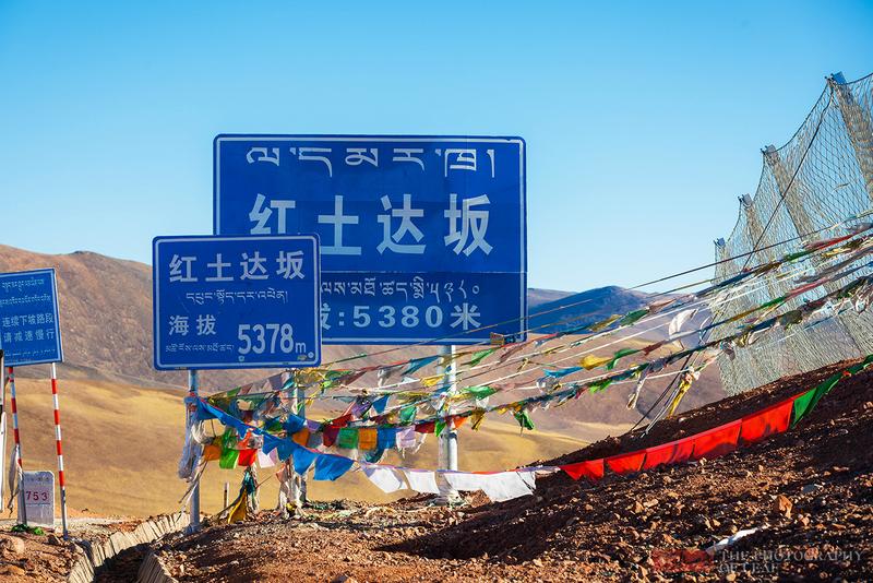
Hongtu Daban
Traveling north along G219 for 3 hours from Bangong Co, you will reach Hongtu Daban. At an altitude of 5278 meters, it is the highest mountain pass on the Xinjiang-Tibet Highway. The area around Hongtu Daban features a red soil plateau landscape.
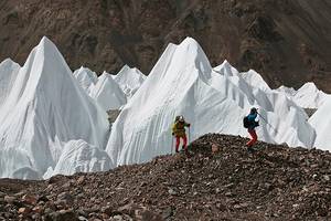
Upon reaching the Jieshan Daban at an altitude of 5248 meters, you will have arrived at the boundary between Tibet and Xinjiang regions. After a 20-minute walk, you will come to the famous Quanshui Lake. Quanshui Lake is located in the heart of the Karakoram Mountains, and its water is formed by the confluence of spring water from the surrounding mountains. The lake water is directly drinkable.