Explore the heart of Australia: 4-day tour to Uluru and Alice Springs
3 cities |
8 attraction(s) |
total distance 231
km
 TIPS
TIPS
Day1
Day2
Day3
Day4
Day1: Uluru Kata Tjuta National Park > Ayers Rock
3 attraction(s) ·
119 km
1
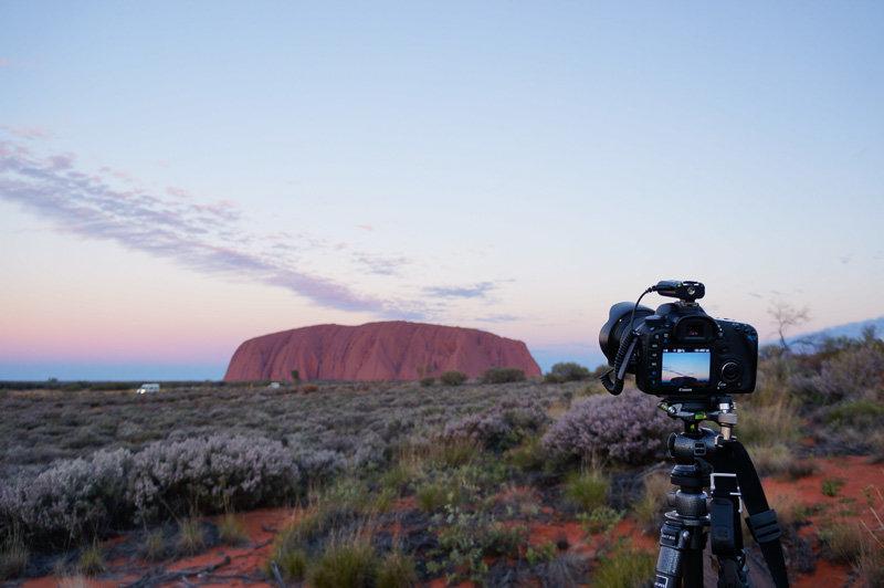
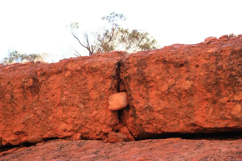
Uluru (Ayers Rock) is located in the center of Australia, approximately 348 meters high and with a circumference of about 9.4 kilometers. Two-thirds of it is buried under sand. It is considered the world's largest monolith and has been ranked as one of the must-visit travel destinations by magazines and media from multiple countries. The Japanese film "Crying Out Love, in the Center of the World" (Sekai no Chūshin de, Ai o Sakebu, 2004) was based on Uluru as its main storyline and was filmed on location. Uluru's biggest feature is its ability to change color with time and climate, earning it the nickname "the magic rock." There are various ways to explore Uluru, such as camel rides, motorcycle rides, and helicopter tours. Hikers will find many different trekking options. It is important to note that collecting any soil or rocks from here is not only illegal but also disrespectful to the Aboriginal people and may bring bad luck. The Uluru Cultural Center exhibits a large number of letters sent by people who had secretly taken rocks and later felt guilty or suffered misfortune.
67
km
2
In the Indigenous language, Kata Tjuta means "many heads." It is located about 40 kilometers west of Uluru and consists of 36 dome-shaped rock formations. Like Uluru, Kata Tjuta also changes colors with the different sunlight. There are two hiking trails to explore Kata Tjuta: the Valley of the Winds and the Walpa Gorge. The Valley of the Winds is about 7.4 kilometers long and takes about 3 hours to complete, while the Walpa Gorge trail is shorter at about 2.6 kilometers and takes about 1 hour to complete.
Kata Tjuta is about 200 meters taller than Uluru, and climbing is strictly prohibited. Like Uluru, the rocks at sunset display a brilliant red color, which is very impressive.
52
km
3
Yulara is a remote town in the southern part of the Northern Territory, Australia, located within the non-self-governing area of the MacDonnell Region. According to the 2011 census data, Yulara has a population of 887 people and covers an area of 103.33 square kilometers. It is accessible by road to the UNESCO World Heritage site of Uluru (also known as Ayers Rock) and is 55 kilometers away from Kata Tjuta (the Olgas). It is situated in the Namatjira electoral division of the Northern Territory and the Lingiari federal division.
Day2: Alice Springs
1 attraction(s) ·
0 km
1
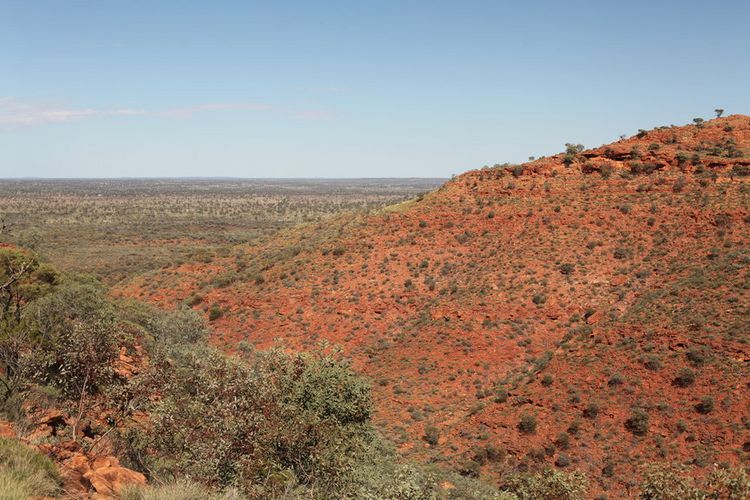
The King's Canyon is a giant red rock wall located in the King's Canyon National Park within Watarrka National Park. The national park is about 330 kilometers west of Alice Springs, and the oasis that deeply cracks into the underground is particularly prominent among the red sandy land. The canyon is about 1000 meters long, with a depth of about 270 meters. Dense shrubs and swimming ponds can be found in the deep part of the canyon, earning it the reputation of "Australia's Grand Canyon". The rocky cliffs in King's Canyon are rugged, mostly orange due to long-term exposure to the sun, and devoid of vegetation; while shaded areas are lush with occasional water pools, creating a contrasting scenery. Standing on the top of the cliff and looking into the distance, you can see the magnificent red earth, giving a feeling of being on Mars.
Day3: Alice Springs
3 attraction(s) ·
113 km
1
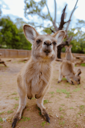
The outdoor exhibition here replicates three natural habitats where animals live: inland rivers, deserts, and forests. Rare birds like the red falcon can also be seen. The nocturnal endangered species tour here allows you to see many rare Australian nocturnal animals, such as the adorable sugar glider (Winter 19:30/Summer 20:00 depart from the park entrance, approximately 1 hour and 15 minutes in duration, advance booking required).
8
km
2
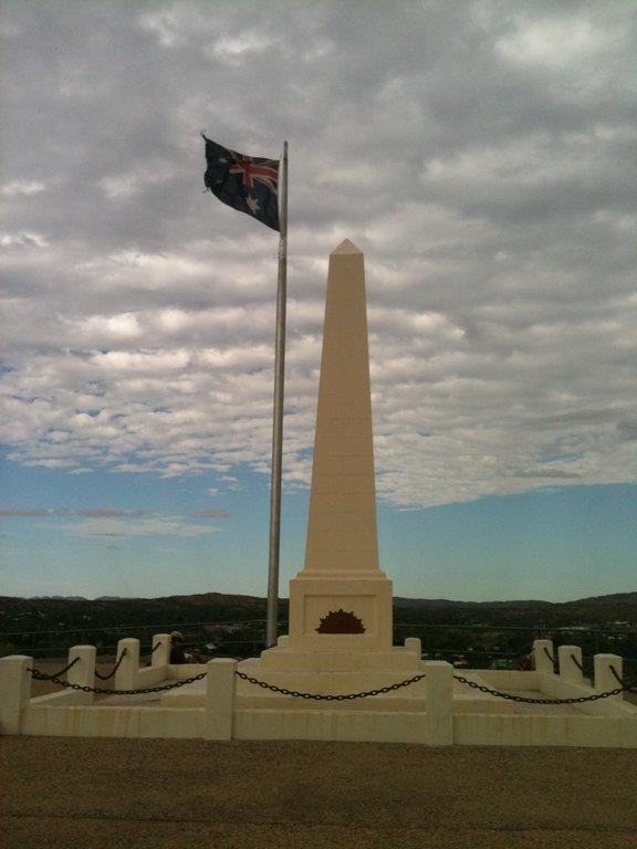
Alice Springs, a city named by the locals to commemorate the ANZAC (Australian and New Zealand Army Corps) troops. The city has a high point with the ANZAC Memorial, offering a panoramic view of the entire Alice Springs.
105
km
3
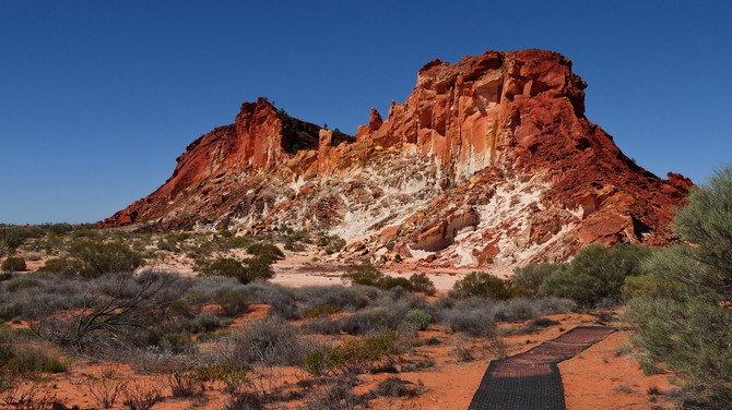
The Rainbow Valley Conservation Reserve is located approximately 75 kilometers south of Alice Springs and can be reached by driving along a four-wheel drive track. It features unique cliff formations that resemble a gradient rainbow, with red at the top and pale yellow at the bottom. The scenery at Rainbow Valley is most beautiful during sunrise and sunset.
Day4: Alice Springs
1 attraction(s) ·
0 km
1
Also known as the Central Australian Museum, it includes fossils, specimens, and meteorites of local animals.
