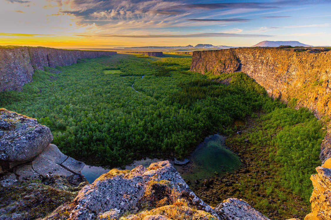
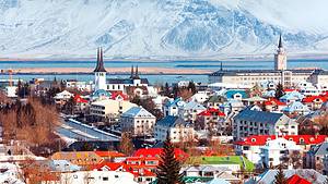
Ásbyrgi Canyon
Ásbyrgi is one of nature's wonders, a forested horseshoe-shaped canyon located in Öxarfjörður. Ásbyrgi is part of the Jökulsárgljúfur canyon in Vatnajökull National Park. The national park covers an area of 120 square kilometers, stretching from Route 85 through Ásbyrgi south to Dettifoss waterfall. The visitor center, shop, golf course, and campsite next to Ásbyrgi provide abundant information. There are several hiking trails near the Ásbyrgi Hotel. Ásbyrgi Canyon is one of the attractions of the Diamond Circle.
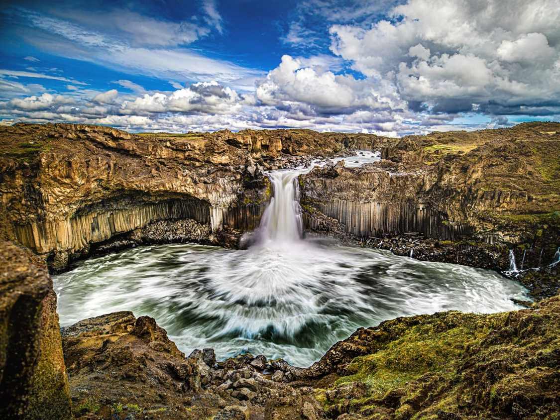
Aldeyjarfoss
Aldeyjarfoss is one of the most beautiful waterfalls in the Skjálfandafljót River. It is formed by a series of long natural basalt columns and is located at the highest point of the Bárðardalur Valley, on the Sprengisandur highland route. You can easily reach it by car.
Kálfshamarsvík
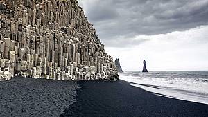
Kálfshamarsvík is a small bay in northern Skagi, featuring beautiful columnar basalt cliffs formed around two million years ago. In the early 20th century, fishing boats navigated these waters, and Kálfshamarsvík became a small community of about 100 residents. However, around 1940, the village was abandoned.
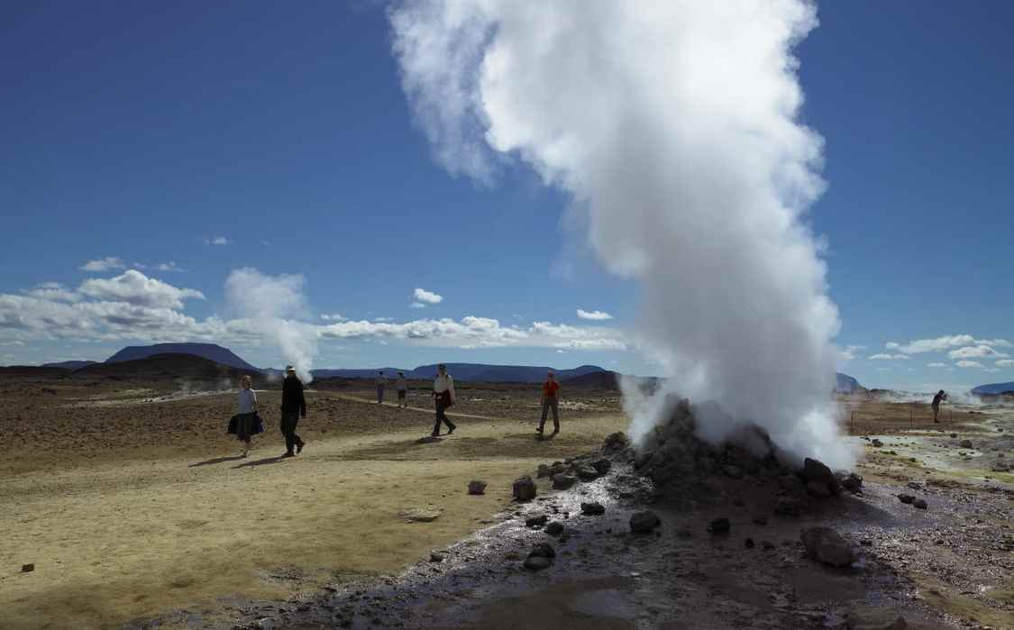
Námaskarð (Krafla)
At the foot of the Krafla volcano lies a spectacular geothermal area called Hverir, known for its diverse range of hot springs. This area also includes several fumaroles, mud pots, and mud pits, all of which are constantly boiling with energy. Geographically, the Námaskarð geothermal area is within easy reach and is also home to the Krafla volcanic system and other interesting geological sites such as the Búrfellshraun lava field and the Mývatnsöræfi desert. Námaskarð is notorious for its sulfur mud springs, steam vents, and the spectacular sight of mud pits. While it is difficult to find any pure springs in Iceland, the colorful mineral composition here is truly remarkable. Another very unique feature of Námaskarð is that it is not suitable for any plant growth due to the large amounts of smoke and volatile gases that make the soil barren and highly acidic, unsuitable for sustaining any plant or animal life. It should be noted that the fumes here can be harmful to humans.
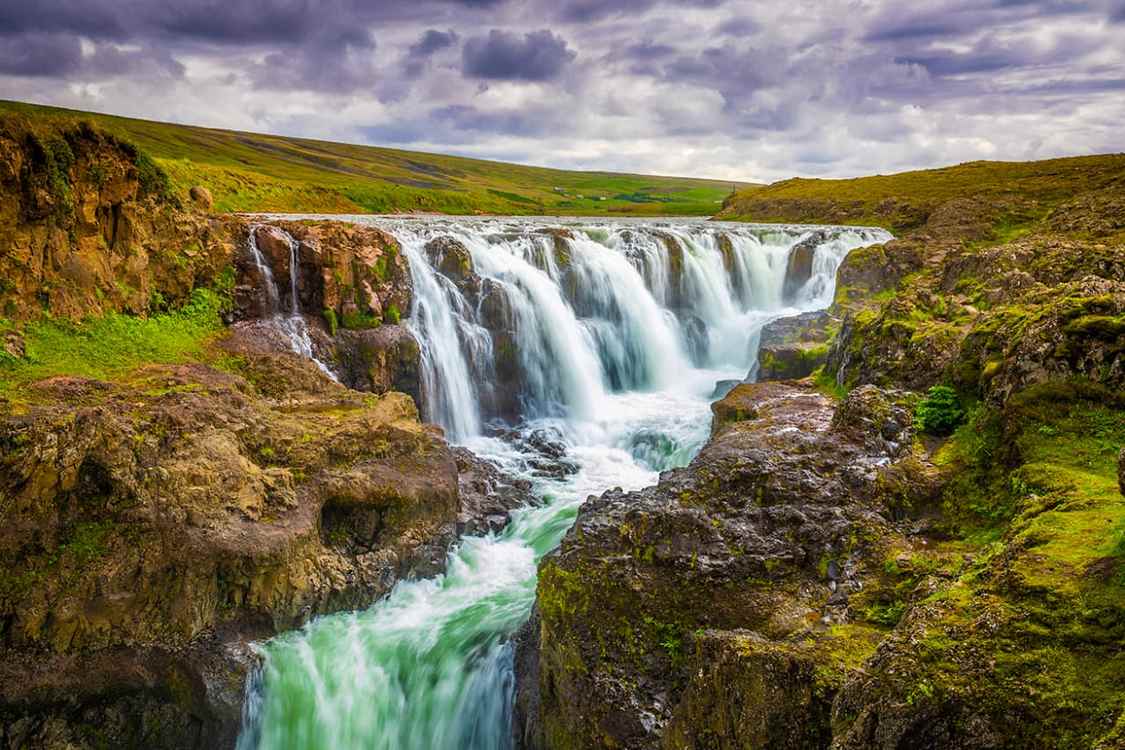
Kolufossar Falls
If you drive along Víðidalur, you will come to the Kolugil farm located by the Víðidalsá River. From below the farm, the water flows smoothly down into a rugged and steep gorge known as Kolugljúfur. Along the way, you will pass many waterfalls, which are called Kolufossar Falls here, in honor of the legendary giantess Kola. If you stand on the viewing platform and watch the calm river water leap and tumble over so many impressive waterfalls, it will be a breathtaking sight—an amazing spectacle that will captivate anyone.