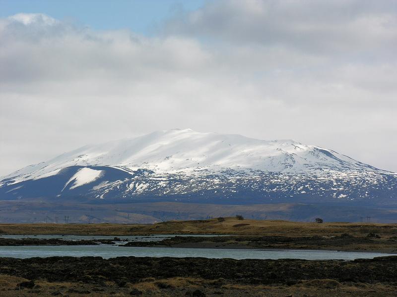
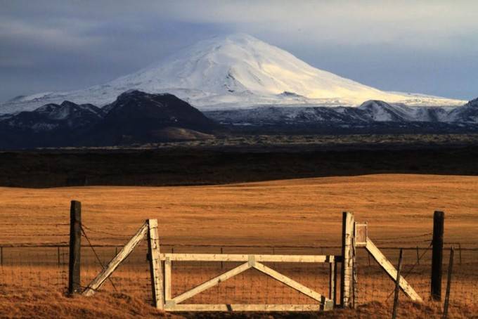
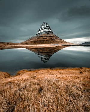
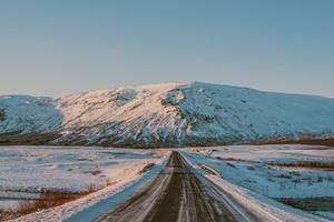
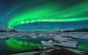
Gates of Hell: Hekla Volcano
Hekla Volcano is one of the famous volcanoes in the central highlands of Iceland. Due to poor weather and road conditions in the highlands during winter, the best time to visit is in summer, when you can conveniently visit while hiking in the Landmannalaugar highlands. In the Middle Ages, Hekla Volcano was also known as the 'Gates of Hell' and it still attracts widespread attention today. However, the eruption cycle of Hekla Volcano is irregular and difficult to predict. The duration of an eruption can range from a few days to several years. It is generally believed that the longer its dormant period, the larger and more destructive the next eruption will be.
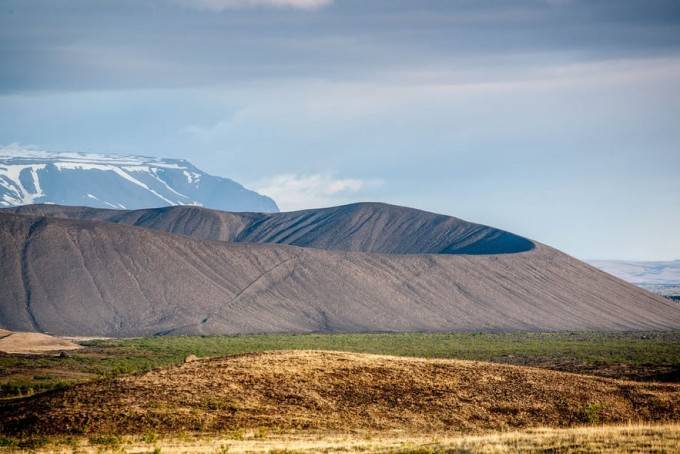
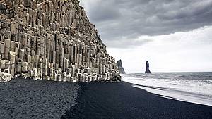
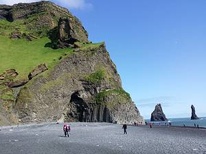
Easily Ascendable Extinct Crater: Hverfjall Volcano
Located in northeastern Iceland, the Whalefjord crater is an extinct volcano. According to archaeologists, the last eruption of this volcano occurred between 2500 BC and 2800 BC. This means that the volcano has been inactive for over 4500 years.
The volcano has two names, Hverfjall and Hverfell, both referring to the same volcano. Its crater has a diameter of only 1 kilometer, making it very easy to ascend. It takes about an hour to walk around the edge of the crater's top.
From the top of the volcano, you can see Iceland's famous Lake Mývatn and enjoy other beautiful scenery. It is a very worthwhile tourist destination. This extinct volcanic crater is located in the northeastern region of Iceland. Although it is very spectacular, it is relatively less visited due to its remote location.
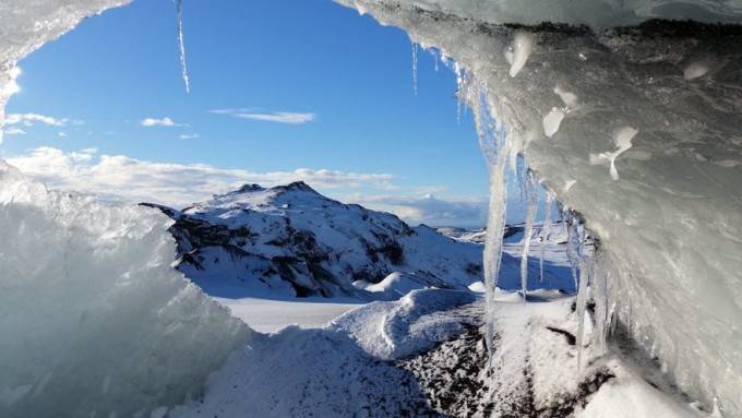
The Most Dangerous Volcano: Katla Volcano
Located in Iceland, Katla Volcano (Katla) is one of the most dangerous volcanoes, situated beneath the Mýrdalsjökull glacier. Its eruptions can trigger devastating glacial floods, destroying farms and houses. Katla is one of Iceland's largest volcanoes, having erupted 20 times between 930 and 1918, with intervals ranging from 13 to 95 years. The most recent major eruption occurred in 1918. Volcanologists believe it could erupt again, bringing catastrophic consequences. Before the Iceland Ring Road was built in 1974, people feared crossing the southern plains of Iceland in front of Katla due to frequent glacial and river activities. Reaching Katla Volcano is very difficult, with options limited to hiking or taking a helicopter. The Fimmvörðuháls trail from Skógafoss to Þórsmörk offers views of Katla Volcano along the way.