Discover Las Vegas, Grand Canyon & Antelope Canyon
4 cities |
8 attraction(s) |
total distance 549
km
 TIPS
TIPS
Day1
Day2
Day3
Day4
Day1: Las Vegas
3 attraction(s) ·
8 km
1
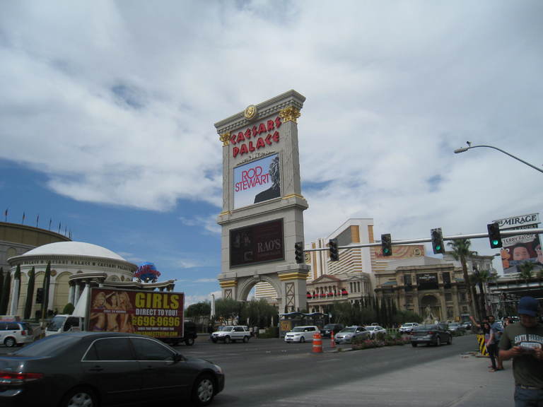
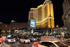
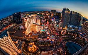
Las Vegas Boulevard is a major road in the Las Vegas Valley area of Nevada, with a length of 82.7 kilometers. The southern section of the road is known for its dense concentration of casinos and hotels, and is known as "the Strip." Once a part of U.S. Route 91 in Nevada, the highway was an important route linking Los Angeles and Salt Lake City. However, it was later replaced by the new Interstate 15, and now Las Vegas Boulevard mainly handles local traffic, with some sections being part of Nevada State Route 604.
1
km
2
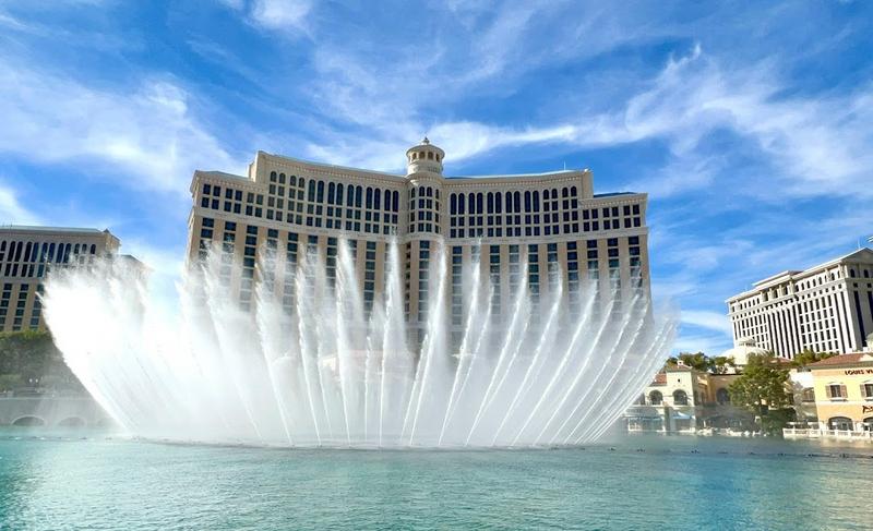
Soaring, iconic fountains featuring dramatic aquatic shows choreographed with music & lights.
7
km
3
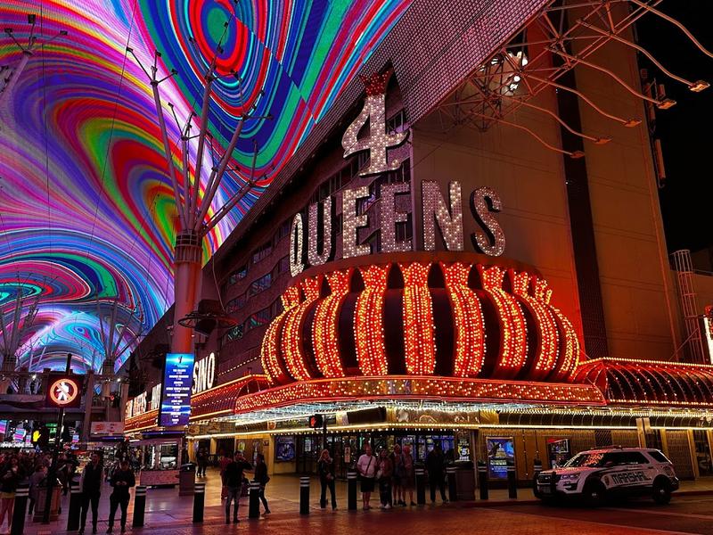
Sprawling 24-hour mall featuring a huge LED canopy, casino & restaurant access, plus entertainment.
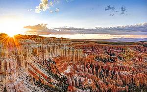
Day2: Coconino County
2 attraction(s) ·
26 km
1

Scenic viewpoint along South Rim, popular for its canyon vistas & proximity to the visitor center.
26
km
2

Stone tower rising 7 stories designed in 1932 by Mary Colter, a pioneering Grand Canyon architect.
Day3: Page
2 attraction(s) ·
7 km
1
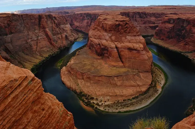
Horseshoe Bend, located in Page, Arizona, is a horseshoe-shaped river bend situated below the Glen Canyon Dam and Lake Powell, only 6 kilometers from the city of Page. It can be reached by walking 1.2 kilometers from US Highway 89. The best viewpoint is located on a steep cliff, 4,200 feet above the river and 3,200 feet above sea level, with a drop of 1,000 feet. To witness the magnificent beauty of Horseshoe Bend, visiting this place is recommended to appreciate the wonders and charms of nature.
7
km
2
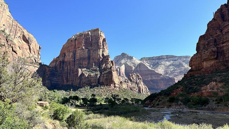
Day4: Washington County
1 attraction(s) ·
0 km