Las Vegas - Grand Canyon 4-day loop
3 cities |
14 attraction(s) |
total distance 158
km
 TIPS
TIPS
Day1
Day2
Day3
Day4
Day1: Las Vegas
4 attraction(s) ·
10 km
1
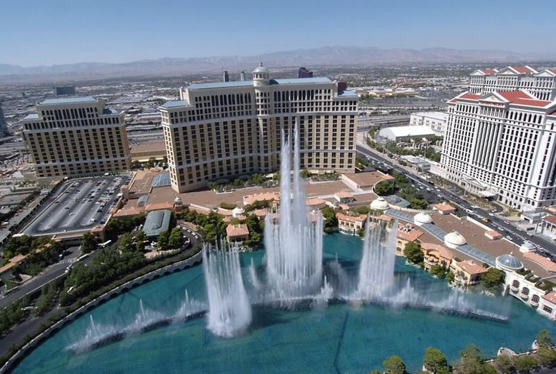
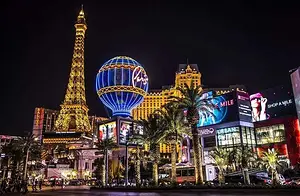
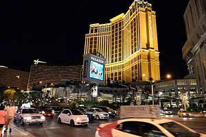
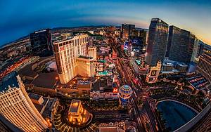
Las Vegas Boulevard, with a total length of 82.7 kilometers, is a major road in the Las Vegas Valley region of Nevada, USA. Known for its numerous casinos and hotels, the southern section of the road is referred to as the "Las Vegas Strip". Las Vegas Boulevard used to be part of US Route 91 in Nevada, which connected Los Angeles and Salt Lake City, but it has since been replaced by the new Interstate 15. Currently, Las Vegas Boulevard primarily handles local traffic, with some sections belonging to Nevada State Route 604.
8
km
3
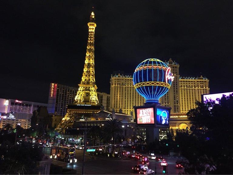
Eiffel Tower Experience at Paris Las Vegas is a replica of the Eiffel Tower.
2
km
4
In addition to Liberty Island in New York, there is also a replica of the Statue of Liberty in Las Vegas. It is located in "New York-New York Hotel and Casino" in Las Vegas, Nevada. Standing at 150 feet (46 meters) tall, it is a half-scale replica of the original Statue of Liberty in New York.
Day2: Grand Canyon National Park
3 attraction(s) ·
2 km
1
Grand Canyon, one of America's landmarks, needs no introduction. When visiting Grand Canyon National Park, 90% of people will go to the South Rim. Located north of Tusayan, it is the park's southern entrance. The Canyon Visitor Information Center is located near Mather Point, where visitors can obtain route and attraction information. Continuing north will lead to Grand Canyon Village. At the Yavapai Observation Station in the northeast end of the village, you can see the panoramic view of the Grand Canyon, and there is also an interesting geological museum. Additionally, taking a helicopter tour of the canyon is a worthwhile experience, but it can be quite expensive, around $500. If you can afford it, go and try it to maximize your appreciation of the grandeur of the Grand Canyon in the shortest amount of time.
2
km
2
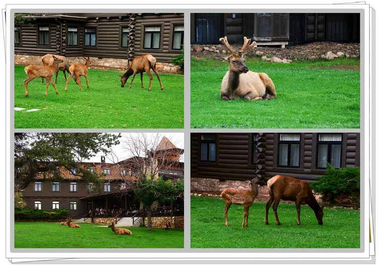
The most developed area within the Grand Canyon, offering information consultation and various tourism services.
3
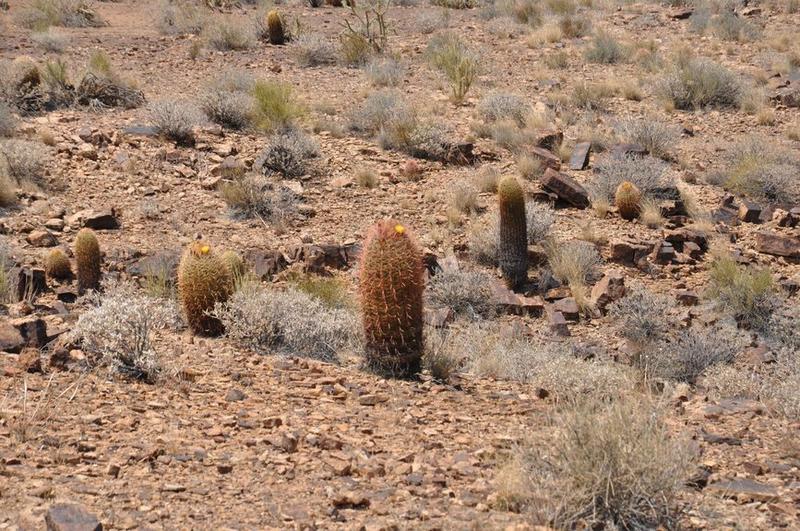
The canyon was formed by the erosion of the Colorado River around 10 million years ago, creating the magnificent landscape we see today. Human traces have been found here as early as 11,000 years ago, including ancient Native American civilizations from 1,500 years ago. It attracts thousands of tourists every year. It serves as a natural laboratory for archaeology, geology, and environmental research. Upon reaching the western rim of the canyon, visitors can overlook the second longest river in North America, the Colorado River, from an altitude of 4,800 feet at Bat Rock.
Day3: Page
3 attraction(s) ·
90 km
1
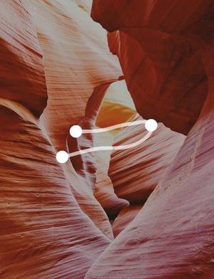
Antelope Canyon is one of the world's famous slot canyons, beloved by photographers. It is located in the northern part of Arizona, United States, closest to the city of Page. It is within the Navajo Nation Reservation. The canyon is divided into two separate sections, known as Upper Antelope Canyon and Lower Antelope Canyon.
8
km
2
Antelope Canyon is one of the world's famous slot canyons and a renowned photography destination. It is located in the Navajo Nation Reservation in northern Arizona, United States, with the closest city being Page. Antelope Canyon can be divided into two parts, namely Upper Antelope Canyon and Lower Antelope Canyon. Lower Antelope Canyon, known as "Hasdeztwazi" in the Navajo language, which means "spiral-shaped rock arches," is only open for nine months a year. Exploring Lower Antelope Canyon requires climbing metal stairs and potentially using ropes, as the passages are less than human height, which may pose physical challenges and require courage for visitors. However, the scenery in Lower Antelope Canyon is breathtaking, earning it the reputation as a paradise for photographers. The entrance to Antelope Canyon is narrow and level with the ground, making it difficult to spot. Once inside, visitors descend 50 meters rapidly, and the canyon is very long overall. Unlike the focused light beams in Upper Antelope Canyon, Lower Antelope Canyon showcases more natural and diverse variations. Despite the difficulty of entry, it remains one of the world's most unique tourist destinations.
82
km
3
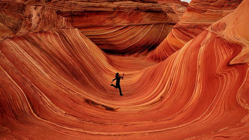
The Wave is located in Paria Canyon-Vermilion Cliffs Wilderness, on the border of southern Utah and Arizona in the United States. It is a geological formation composed of large sand dunes that began depositing during the Jurassic period. Over time, the sand dunes were covered by layers of red sand saturated with groundwater, which gradually transformed the sand into sandstone, creating the unique layered structure. With the rise of the Colorado Plateau, the distinct layers of sandstone became visible, and the smooth patterns on the rocks create a stunning three-dimensional effect.
To protect this natural wonder, the Bureau of Land Management (BLM) limits daily access to only 20 visitors, determined by a lottery system at the BLM office. There are no signs or markers within the protected area, so visitors must rely on provided directions to find The Wave. This requires good physical fitness and sufficient wilderness hiking experience. Once you find it, you will be amazed by the breathtaking beauty, feeling like a grain adrift in the deep ocean floor. It is an unforgettable experience, and people from all backgrounds and using various equipment can capture their own masterpieces.
In 1997, the BLM took over the management of access to The Wave. After conducting on-site research and studies, the decision was made to not promote tourism to preserve the canyon's original ecological environment. Only a limited number of permits, known to the public, were issued each day. Unauthorized entry is strictly prohibited. Out of the twenty permits, ten are available for on-site application and the other ten can be obtained online. The online application opens at 12 p.m. local time on the first day of each month for permits three months in advance. Ten permits are issued each day, and international applicants are also eligible. The permit fee is $5, plus a mailing fee (credit card payment only). The website specifies the required personal information for the application. Online permits are often sold out within 15 minutes due to high demand. Thus, it is crucial to input information quickly. The mailed permits come with a hiking map and an environmental guide. Additionally, ten permits are available through a lottery at the BLM office in Kanab, Utah, for the following day.
Lottery participants must arrive at the office at 8:30 a.m. when it opens to fill out an application, and the lottery drawing takes place at 9 a.m. If selected, the participant must pay the fee to receive the permit, parking pass, and map for the next day. If not selected, they are welcome to participate in the lottery again the following day. Entering the area without a permit is illegal, and fines can reach up to $1200. To prevent unauthorized entry, there are no signs or markers in the entire area, and only those with permits have access to a detailed map.
Day4: Las Vegas
4 attraction(s) ·
58 km
1
Fremont Street in terms of luxury is slightly inferior to the Strip, but it is also full of neon lights and casinos. The VIVA VISION LIGHT SHOW AT FREMONT is a must-see, with over 12.5 million LED lights creating more than 16 million color combinations and mesmerizing graphics. The area is also home to the Neon Museum, Neonopolis shopping and entertainment center, City Hall, and Art Factory gallery district. It offers good hotels and convenient transportation with the highway.
2
km
2
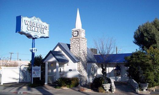
The Gift of Earth Wedding Chapel in Las Vegas is a long-standing landmark building where Frank Sinatra, the Rat Pack, and the original Aladdin have created miracles. Elvis Presley and his wife Priscilla exchanged vows here in 1976. Other celebrities who have appeared at the chapel include Jay Leno, Johnny Depp, Haimish, Andy, and more.
3
km
3
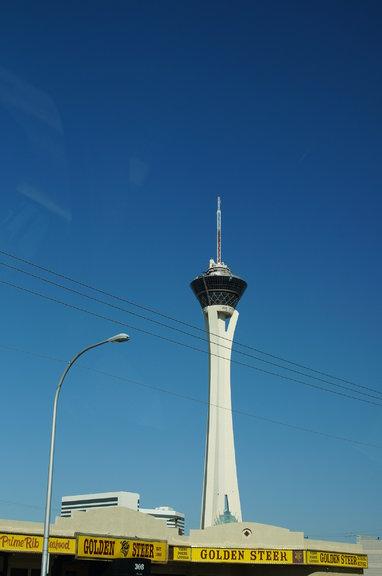
The High Tower Hotel, located at the northernmost end of Las Vegas, also known as the Stratosphere Hotel, is the tallest building in Las Vegas and a great place to overlook the entire Las Vegas skyline at night. However, what is more famous here are the amusement facilities on the tower. The amusement park, located on the top floor of the tower, features the world's most thrilling sky jump and the roller coaster at the top of the tower was once selected as one of the top ten thrilling roller coasters in the world.
54
km
4
Lake Mead is about an hour's drive from Las Vegas. It is the reservoir formed by Hoover Dam and is also the largest artificial lake in the United States. It is a popular destination for swimming, camping, boating, fishing, and water sports. It is also a great vacation spot and provides water supply for the entire Las Vegas area. Hoover Dam, named after President Hoover, was built in 1935 and was a marvel of engineering at that time, but it had significant impacts on downstream water flow and ecology.

