Lake Lucerne, Alpine Serenity Meets Pristine Waters
Domestic territory
4.7
Introduction
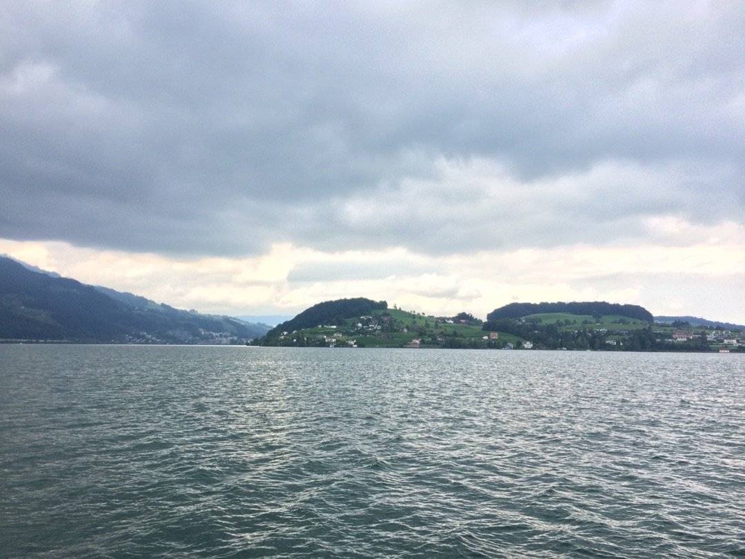
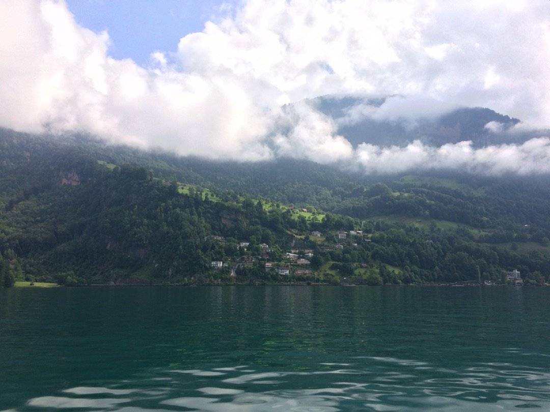
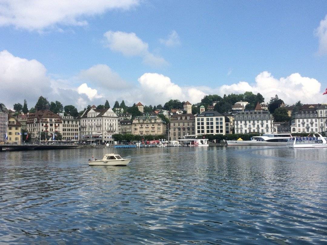
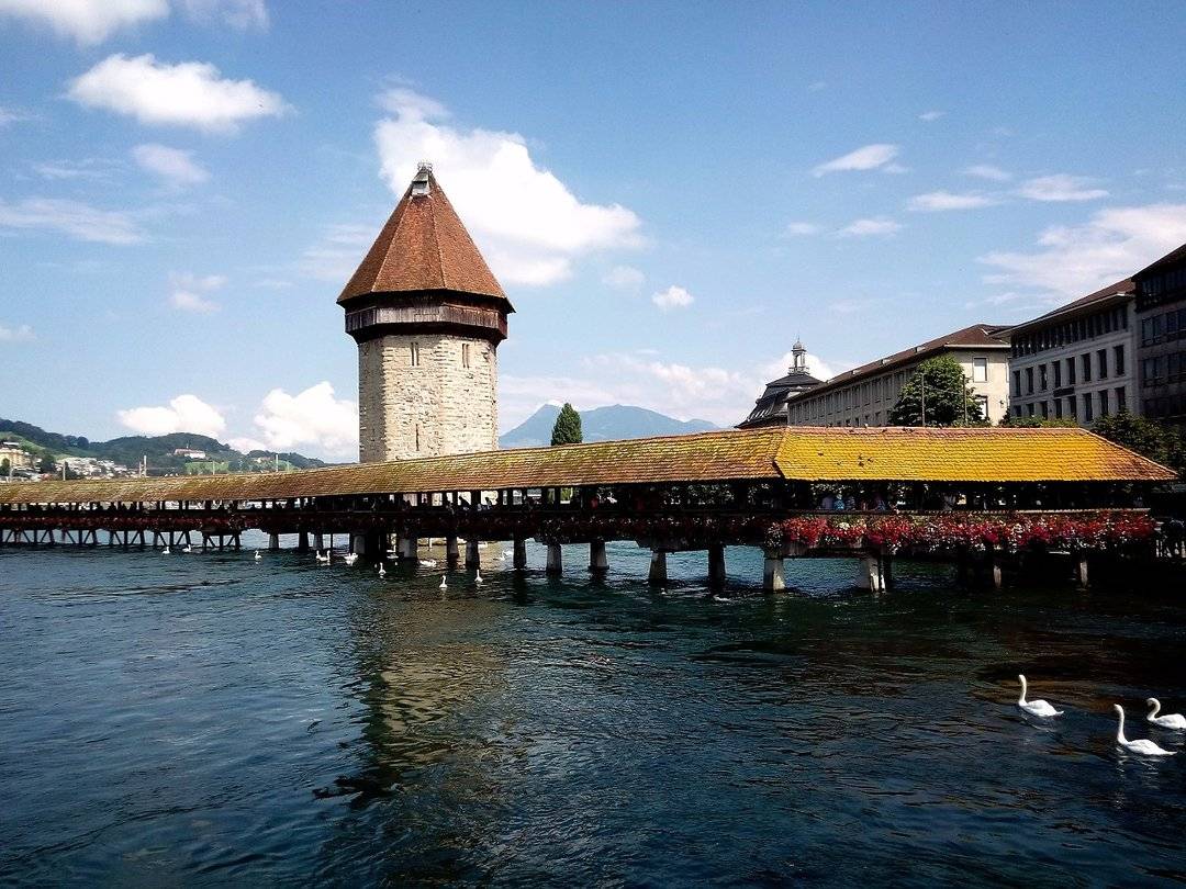
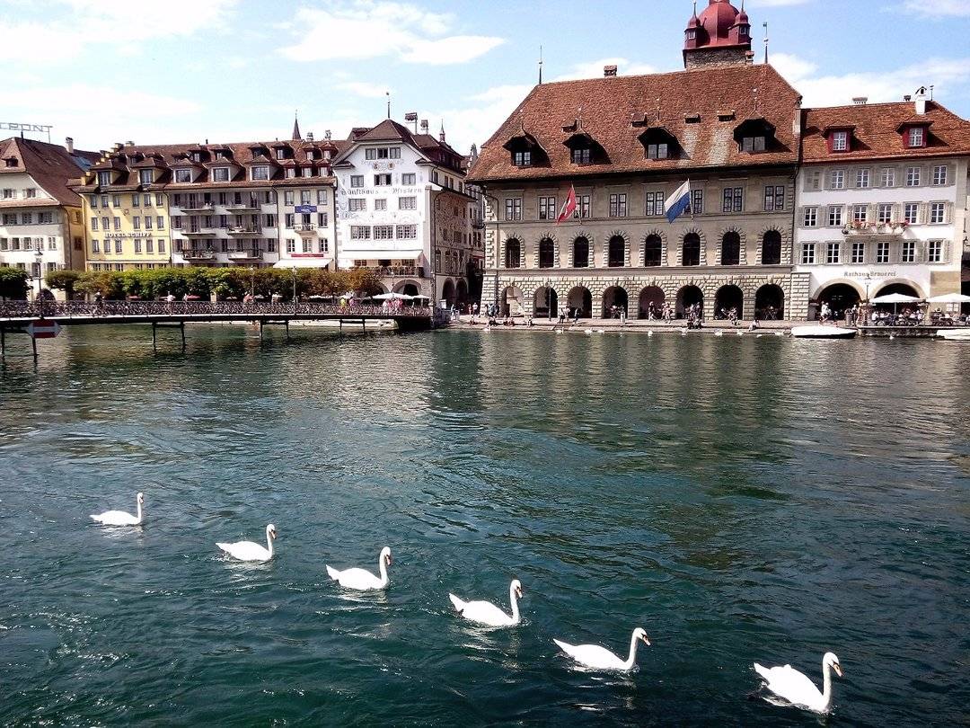
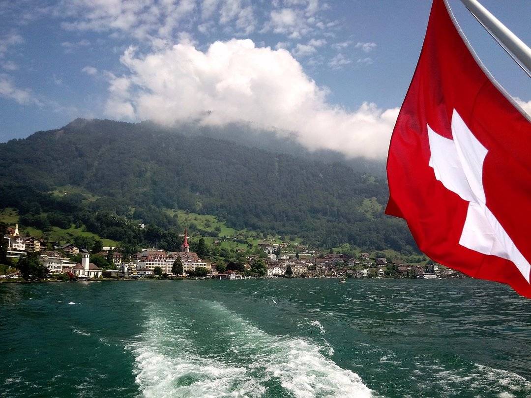
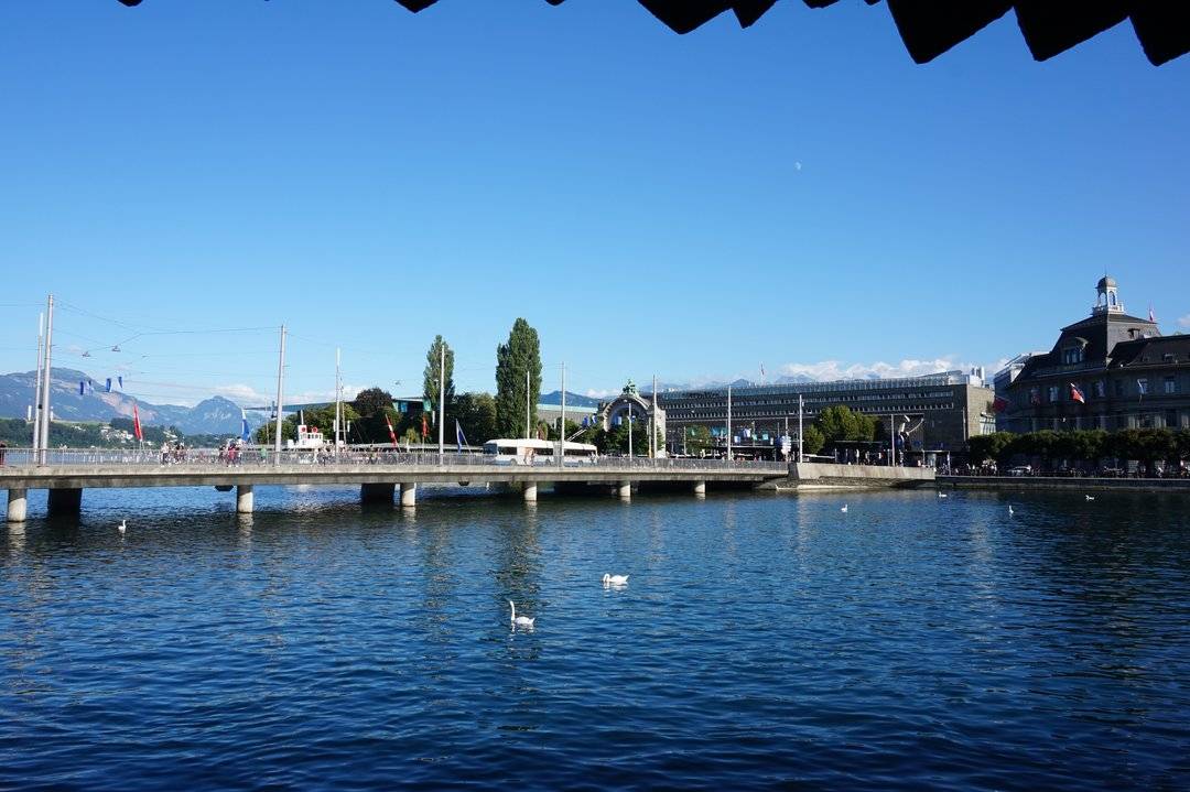
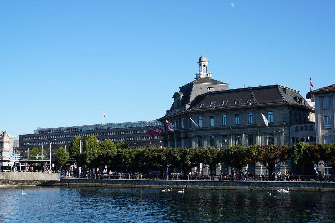
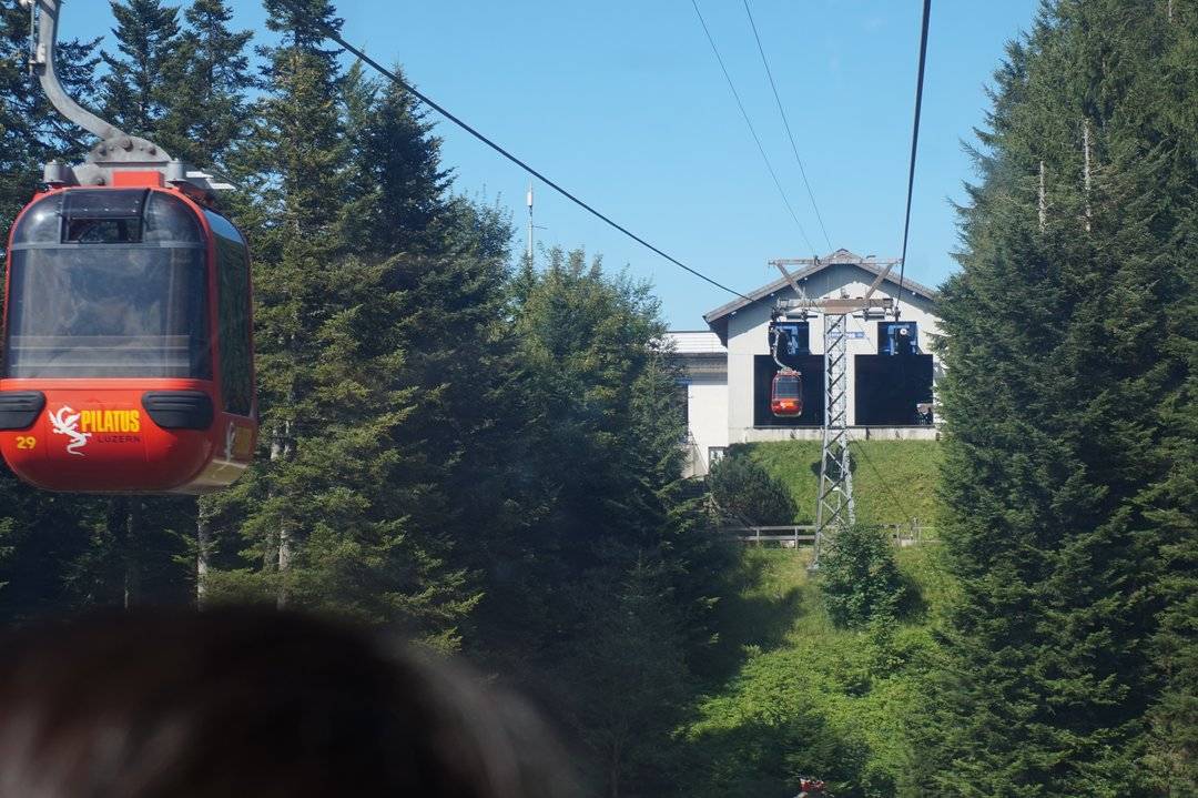
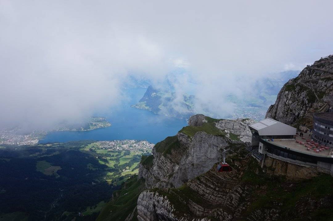
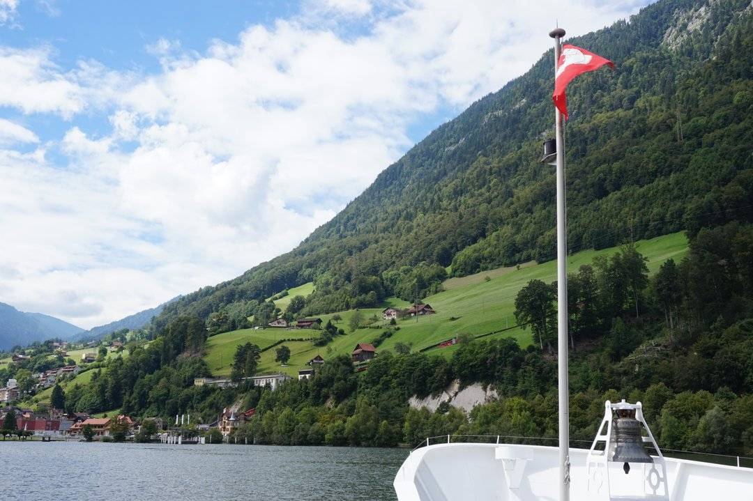
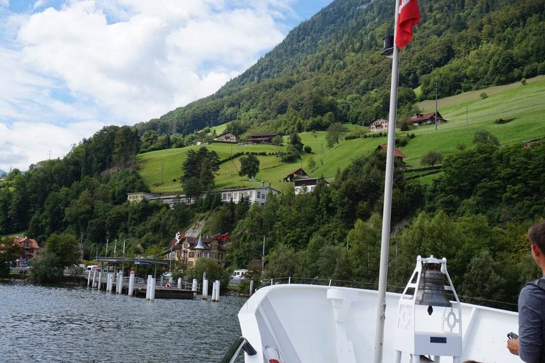
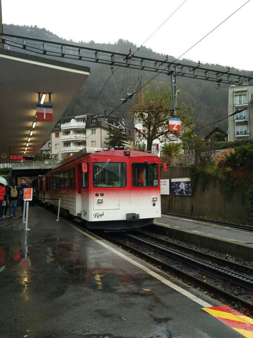
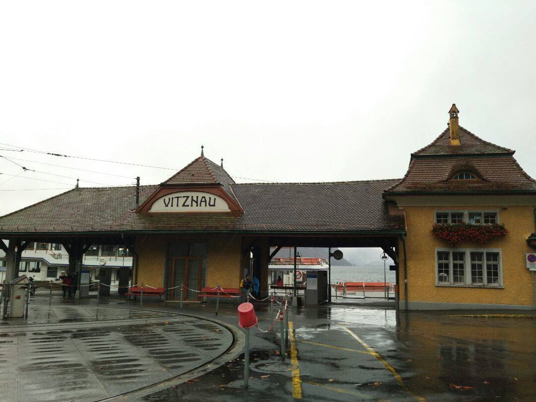
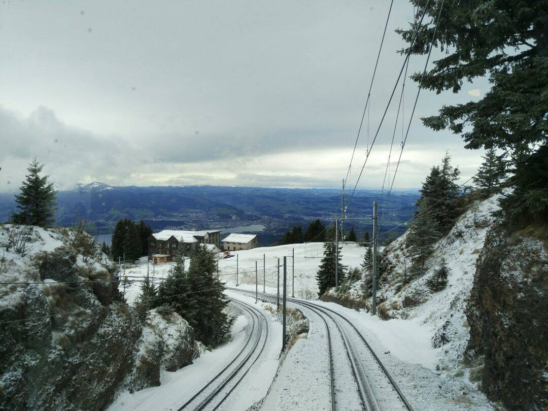
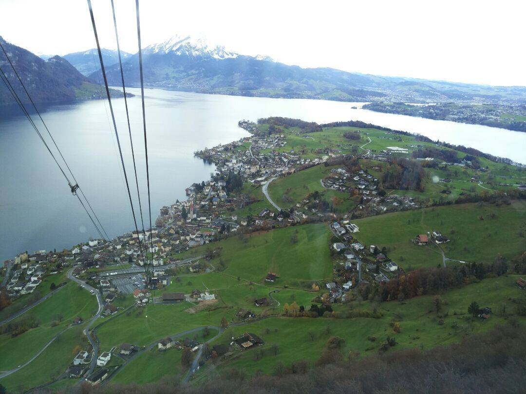
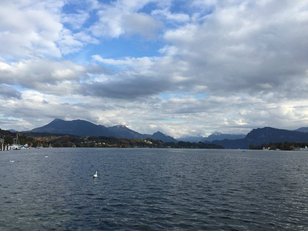
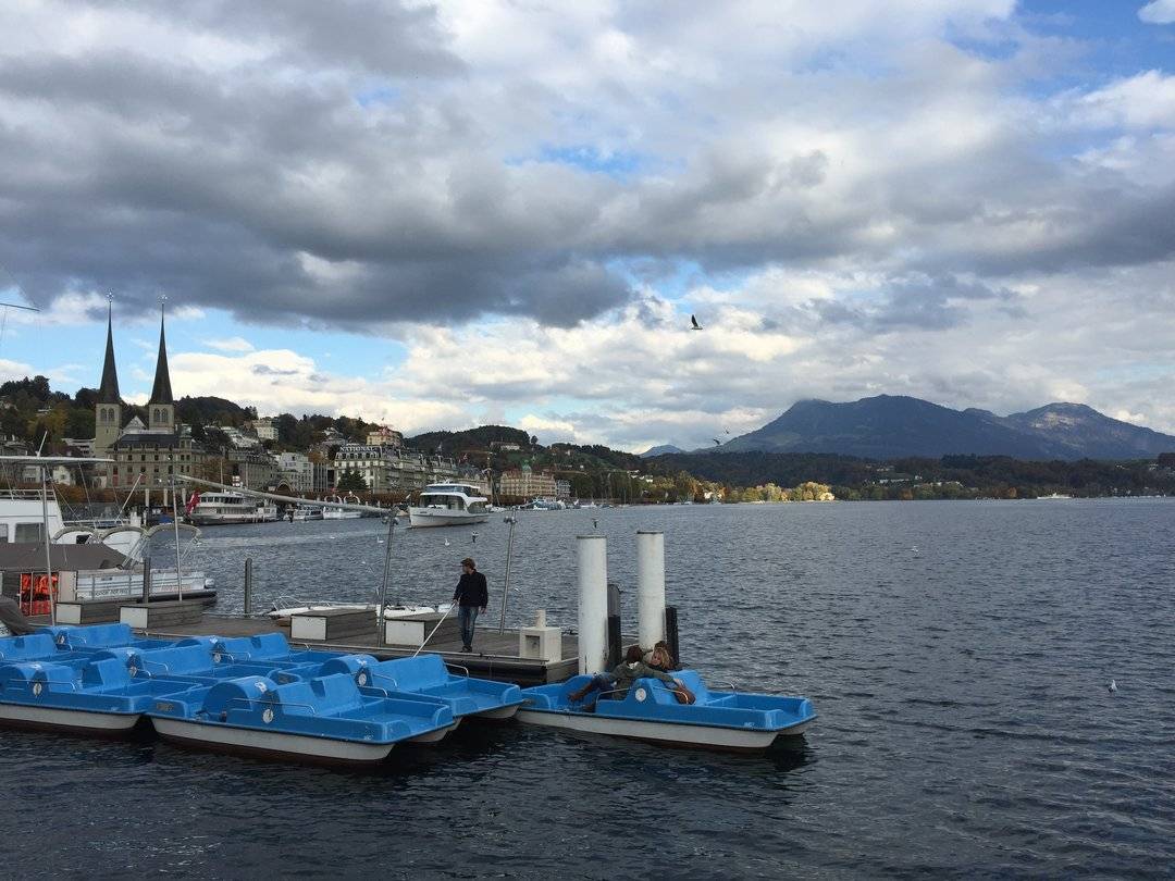
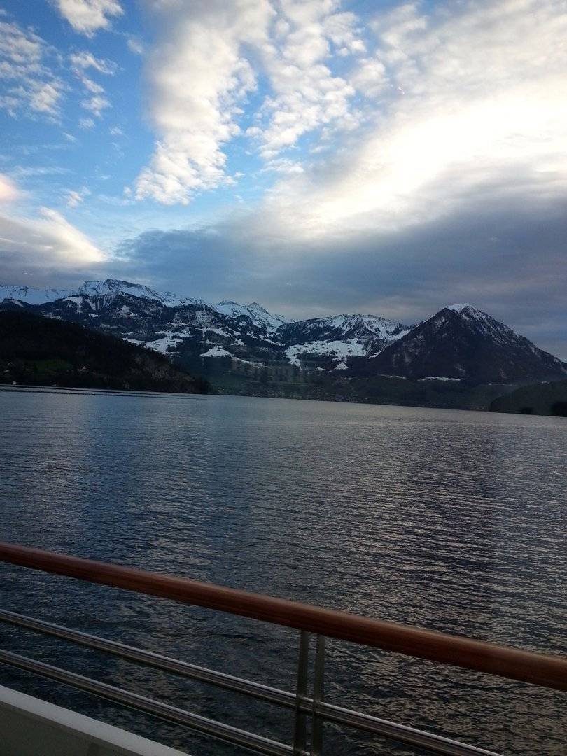
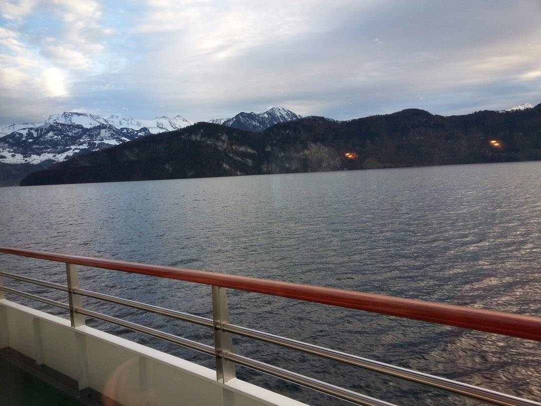
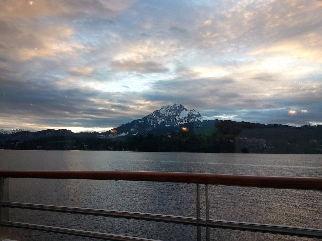
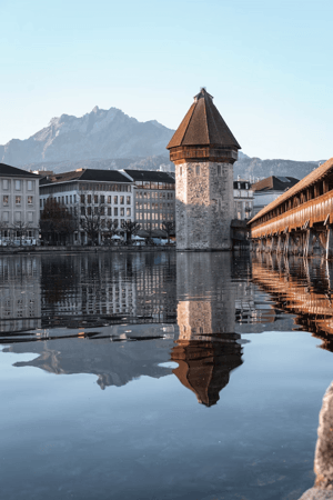
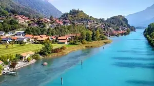
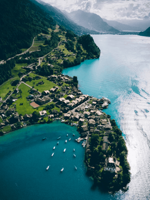
Lake Lucerne is located in central Switzerland, surrounded by four cantons: Lucerne, Uri, Schwyz, and Unterwalden. The lake covers an area of approximately 115.2 km², making it Switzerland's fifth-largest lake. It is irregularly shaped due to its surrounding Alpine mountains. The first river to flow into the lake is the Reuss River, which enters Lake Lucerne in Flüelen in the canton of Uri. The portion within Uri is called Urnersee. The lake then merges with the Muota River in the canton of Schwyz and turns east-west. The Engelberger Aa River flows from the half-canton of Unterwalden and turns the lake to the north, where it suddenly narrows before widening again upon entering Lucerne. The lake forms a cross shape, with the southwestern wing flowing from the Sarner Aa River in the half-canton of Obwalden and the northeastern wing protruding into the canton of Schwyz. Finally, the lake's waters flow out of Lucerne city via the Reuss River. The lake's picturesque scenery, surrounded by high mountains like Pilatus, Stanserhorn, and Rigi, makes it a popular tourist destination. There are many hotels and resorts along the shore, and visitors can take a leisurely drive around the lake. Alternatively, several ferry routes that connect the lake's major towns provide another option for visitors.  There are beautiful swans by the lake