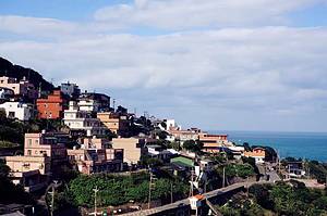
Shitiping, Marvel at the geological wonders shaped by the ocean
Fengbin Township, Hualien County
4.4
Introduction
Located on the southeast side of Shiti Fishing Port, Shiti Ping is a natural reserve within the Hualien-Taitung Coastal Conservation Area. Since being designated by the Ministry of Interior in 1983, it has become a recreational area within the Eastern Coast National Scenic Area. The area is characterized by its flat and wide terrain, with the main pathways planned as camping areas facing the sea, and coastal trails extending to various major attractions. Shiti Ping is famous for its unique geological formations, with many scenic spots scattered throughout the conservation and recreational areas. The area is named after its multi-layered stepped rock platforms, pot holes, and coral reefs. Along the stone path, visitors can observe firsthand the geological landscape of sea erosion gullies, cliffs, platforms, and coral reefs. In addition, Shiti Ping is a popular destination for diving and sea fishing enthusiasts. The entire recreational area has a geological profile of about 100 meters, with a bottom layer of approximately 30 meters thick basalt lava characterized by columnar joints. It is covered by white tuff and volcanic breccia, while the top of the profile consists of loosely packed white medium-acidic tuff, a product of terrestrial volcanic eruptions. Address Fengbin Township, Hualien County
Transportation Take the Taiwan Railway to Hualien Station and transfer to Hualien Passenger Transport (toward Jingpu) to get off at Shitiping Station.
 A very distinctive place


