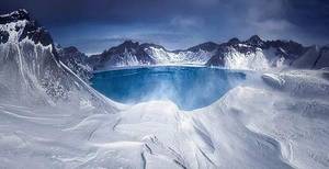
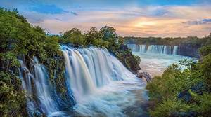
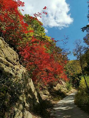
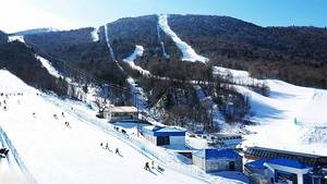
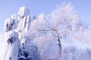
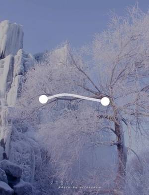
Changbai Mountain North Scenic Area, A majestic blend of ice, snow, and volcanic beauty
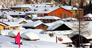
Inside Changbai Mountain National Nature Reserve in Antu County, Yanbian Korean Autonomous Prefecture, Jilin Province
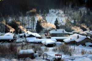
 Experiencing the magnificence of Changbai Mountain here is great
Introduction
Address
Inside Changbai Mountain National Nature Reserve in Antu County, Yanbian Korean Autonomous Prefecture, Jilin Province
Opening hours
All Day (All Year Round)
(Monday-Sunday, January 1st-December 31st)
Tips:
Additional Information: Tourists who purchase tickets for the North and West Scenic Areas can enter for free within 5 days with valid identification (identity card, passport, Hong Kong, Macao and Taiwan identity card, military card, temporary identity card). Medical personnel in China can enter for free with their practice qualification certificate and identity card (specific deadline subject to the on-site notice of the scenic area).
Transportation
Route to Changbai Mountain:
Phone 0433-5742286